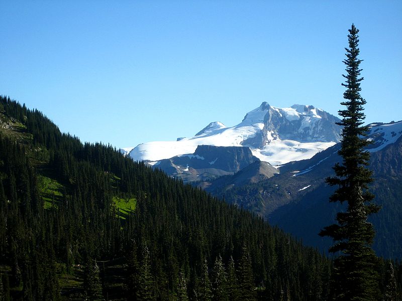
The Table, Garibaldi Provincial Park

Gallery (2)
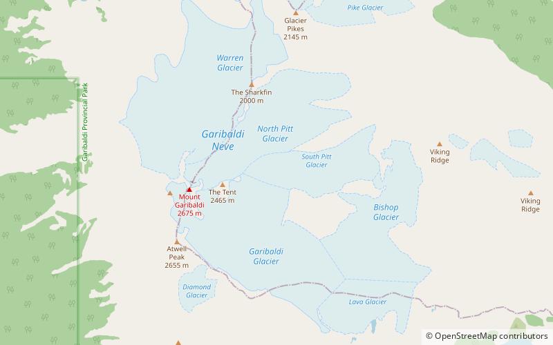
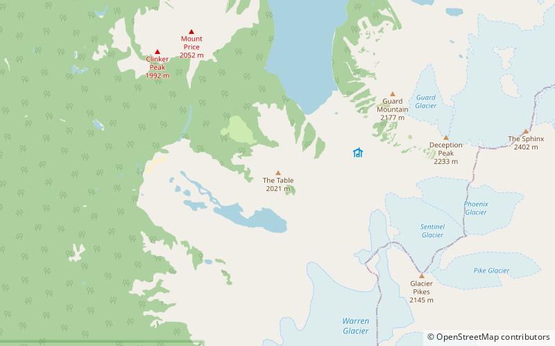
Map
Map
Gallery
Facts and practical information
The Table, sometimes called Table Mountain, is a 2,021-metre high flow-dominated andesite tuya located 4 kilometres south of Garibaldi Lake, 15 kilometres northeast of Cheekye and 5 kilometres north of Mount Garibaldi, British Columbia, Canada. It rises over 530 metres above the surface of Garibaldi Lake, which lies less than 1 kilometre to the north. ()
Alternative names: First ascent: 1916Elevation: 6631 ftProminence: 823 ftCoordinates: 49°53'43"N, 123°0'50"W
Address
Garibaldi Provincial Park
ContactAdd
Social media
Add
Day trips