The Sphinx, Garibaldi Provincial Park
#11 among attractions in Garibaldi Provincial Park


Facts and practical information
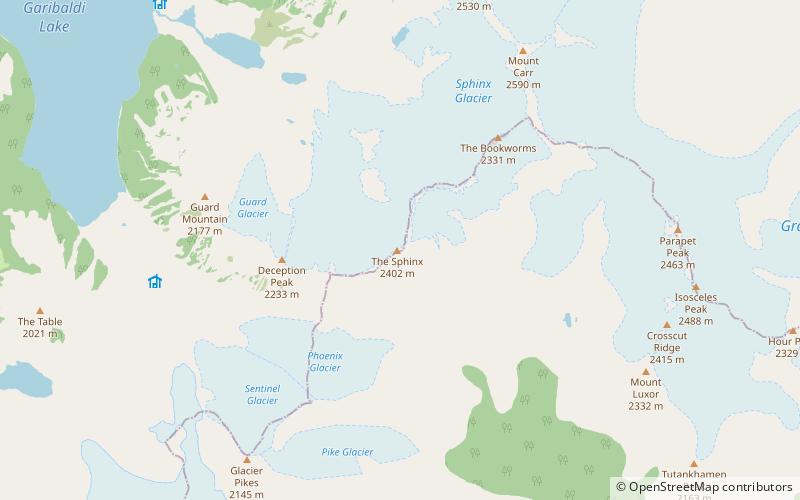
The Sphinx is a mountain in the southernmost Coast Mountains of British Columbia, Canada. It is south-east of Garibaldi Lake. ()
Garibaldi Provincial Park Canada
The Sphinx – popular in the area (distance from the attraction)
Nearby attractions include: The Black Tusk, Cinder Cone, Mount Garibaldi, Mount Price.
 Natural attraction, Volcano
The Black Tusk, Garibaldi Provincial Park
165 min walk • The Black Tusk is a stratovolcano and a pinnacle of volcanic rock in Garibaldi Provincial Park of British Columbia, Canada. At 2,319 m above sea level, the upper spire is visible from a great distance in all directions.
 Natural attraction, Volcano
Cinder Cone, Garibaldi Provincial Park
137 min walk • Cinder Cone is a cinder cone with a small crater on the west side of the Helm Glacier in Garibaldi Provincial Park in British Columbia, Canada. Cinder Cone is surrounded by cinder flats and its crater is filled with meltwater during the summer.
 Massive volcano formed on a glacier
Mount Garibaldi, Garibaldi Provincial Park
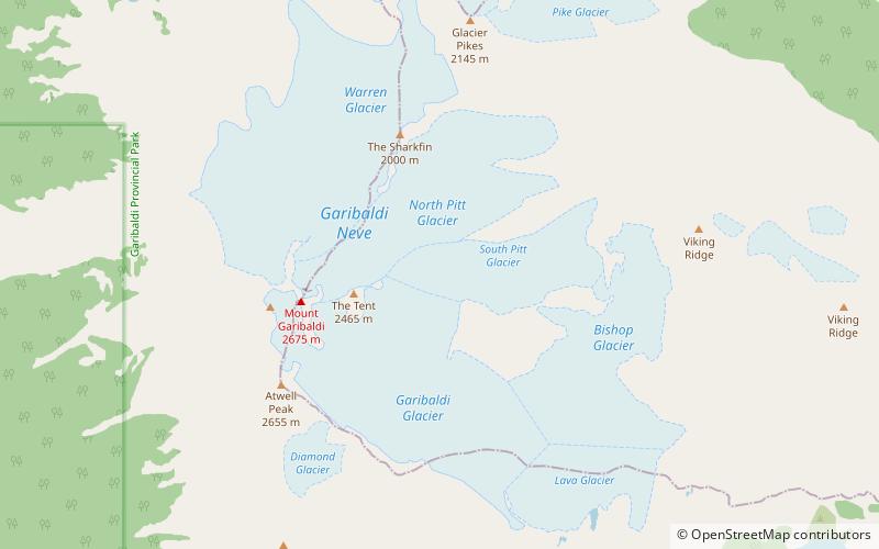
109 min walk • Mount Garibaldi is a potentially active stratovolcano in the Sea to Sky Country of British Columbia, 80 km north of Vancouver, British Columbia, Canada.
 Natural attraction, Volcano
Mount Price, Garibaldi Provincial Park
99 min walk • Mount Price is a small stratovolcano in the Garibaldi Ranges of the Pacific Ranges in southwestern British Columbia, Canada. It has an elevation of 2,049 metres and rises above the surrounding landscape on the western side of Garibaldi Lake in New Westminster Land District.
 Natural attraction, Volcano
Atwell Peak, Garibaldi Provincial Park
123 min walk • Atwell Peak is a dramatic pyramid shaped volcanic peak located at the southern edge of Mount Garibaldi, British Columbia, Canada.
 Natural attraction, Lake
Garibaldi Lake, Garibaldi Provincial Park
94 min walk • Garibaldi Lake is a turquoise-coloured alpine lake in British Columbia, Canada, located 37 km north of Squamish and 19 km south of Whistler.
 Natural attraction, Volcano
The Table, Garibaldi Provincial Park
72 min walk • The Table, sometimes called Table Mountain, is a 2,021-metre high flow-dominated andesite tuya located 4 kilometres south of Garibaldi Lake, 15 kilometres northeast of Cheekye and 5 kilometres north of Mount Garibaldi, British Columbia, Canada.
 Natural attraction, Volcano
Garibaldi Lake volcanic field, Garibaldi Provincial Park
94 min walk • The Garibaldi Lake volcanic field is a volcanic field, located in British Columbia, Canada. It was formed by a group of nine small andesitic stratovolcanoes and basaltic andesite vents in the scenic Garibaldi Lake area immediately north of Mount Garibaldi was formed during the late Pleistocene and early Holocene.
 Natural attraction, Volcano
Opal Cone, Garibaldi Provincial Park
134 min walk • Opal Cone is a cinder cone located on the southeast flank of Mount Garibaldi in the Coast Mountains of British Columbia, Canada. It is the source of a 15 km long broad dacite lava flow with prominent wrinkled ridges. The lava flow is unusually long for a silicic lava flow.
 Natural attraction, Mountain
Castle Towers Mountain, Garibaldi Provincial Park
68 min walk • Castle Towers Mountain is a triple summit mountain on the east side of Garibaldi Lake in southwestern British Columbia, Canada. The first ascent party from the BC Mountaineering Club named the mountain after its appearance in August 1911.
 Natural attraction, Natural feature
Garibaldi Névé, Garibaldi Provincial Park
93 min walk • The Garibaldi Névé is a 35 km2 large icefield in the Pacific Ranges of the Coast Mountains in southwestern British Columbia, Canada, located on the eastern flank of Mount Garibaldi.
