Centennial, Winnipeg
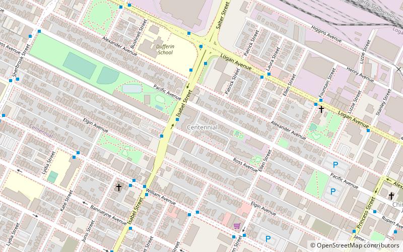
Map
Facts and practical information
Centennial is an inner-city neighbourhood located Winnipeg, Manitoba, Canada, in the Downtown East Neighbourhood Cluster. The boundaries of Centennial are Sherbrook Street on the west, Logan Avenue on the north, William Avenue on the south and Stanley, Paulin and Adelaide streets on the east. ()
Coordinates: 49°54'14"N, 97°8'49"W
Address
Central Winnipeg (Centennial)Winnipeg
ContactAdd
Social media
Add
Day trips
Centennial – popular in the area (distance from the attraction)
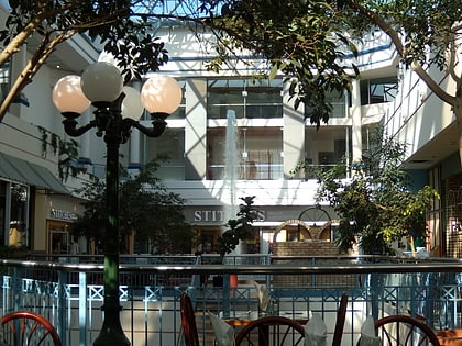
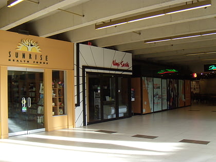
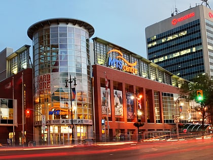
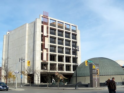
Nearby attractions include: Portage Place, Winnipeg Square, Canada Life Centre, Manitoba Museum.
Frequently Asked Questions (FAQ)
Which popular attractions are close to Centennial?
Nearby attractions include Chinatown, Winnipeg (8 min walk), Cre8ery gallery & studio, Winnipeg (10 min walk), Winnipeg Chinese Cultural and Community Centre, Winnipeg (11 min walk), Union Bank Building, Winnipeg (13 min walk).
How to get to Centennial by public transport?
The nearest stations to Centennial:
Bus
Train
Bus
- Northbound Isabel at Ross • Lines: 17, 38 (2 min walk)
- Southbound Isabel at Alexander • Lines: 17, 38 (3 min walk)
Train
- Winnipeg (30 min walk)
