Golden Hinde Mountain
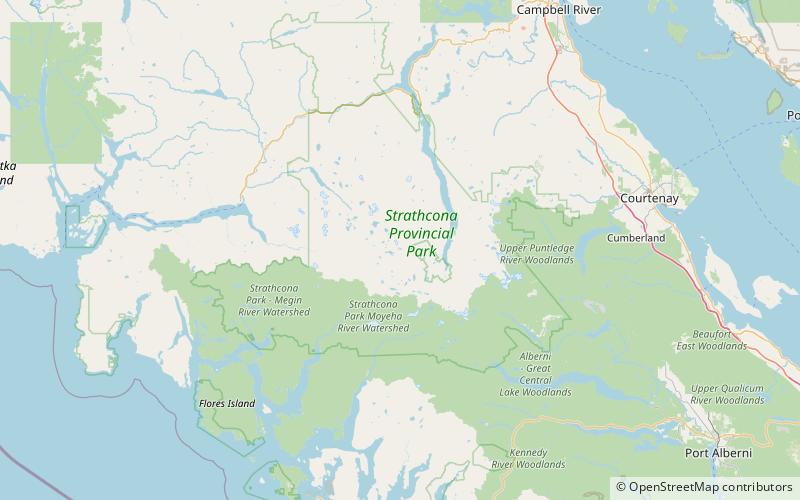
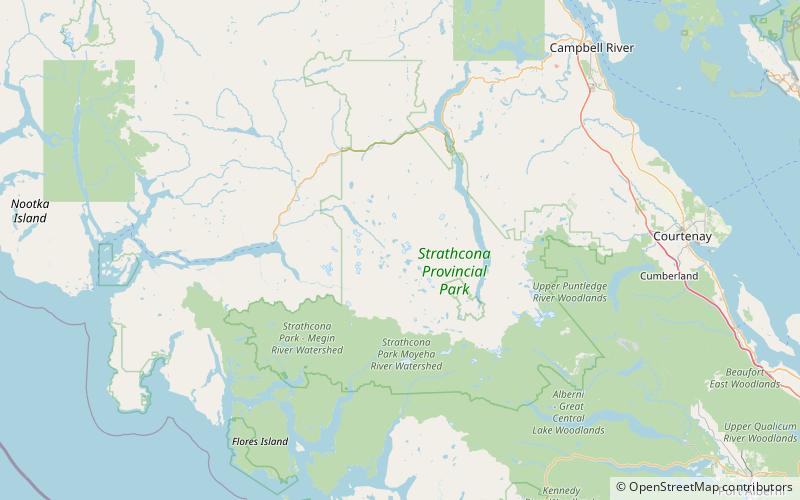
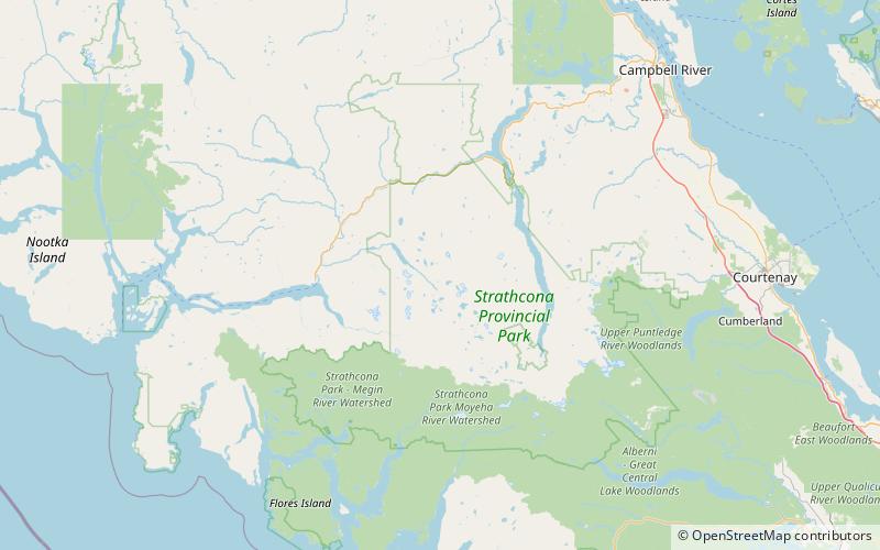
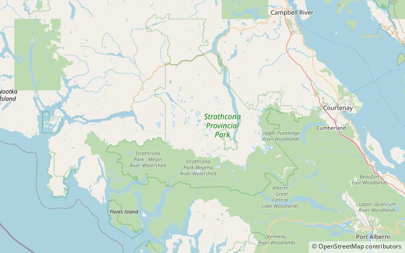
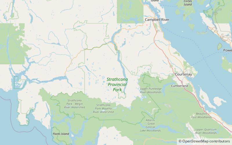
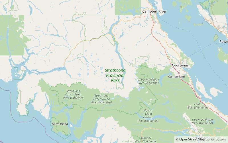
Map
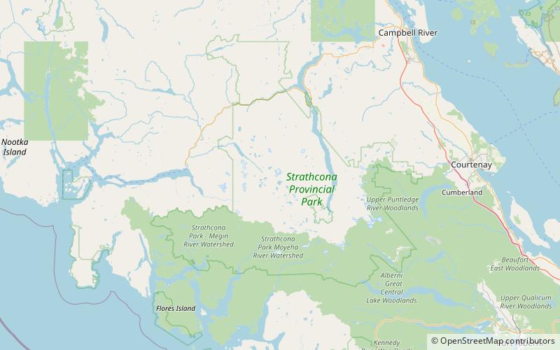
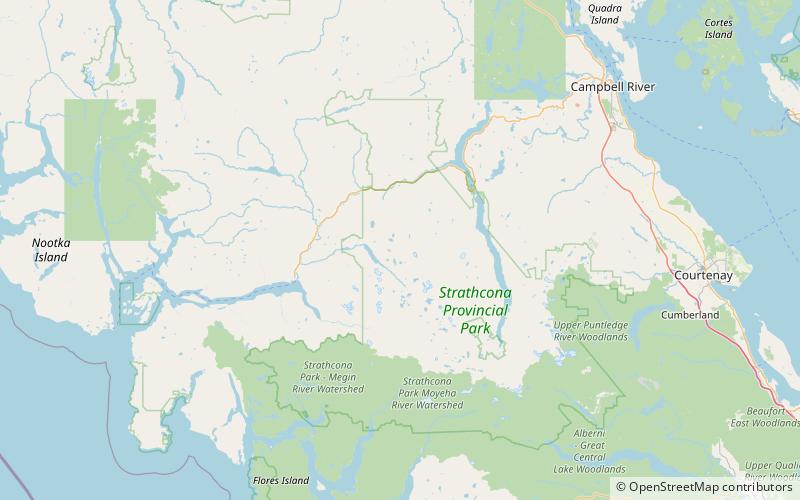
Map

Facts and practical information
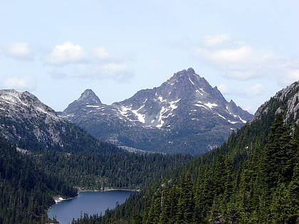
The Golden Hinde is a mountain located in the Vancouver Island Ranges on Vancouver Island, British Columbia, Canada. At 2,195 metres, it is the highest peak on the island. The peak is popular with experienced backcountry-climbers, having been first ascended in 1913. The mountain is made of basalt which is part of the Karmutsen Formation. ()
Alternative names: First ascent: 1913Elevation: 7201 ftProminence: 7201 ftCoordinates: 49°39'45"N, 125°44'49"W
Location
British Columbia
ContactAdd
Social media
Add
Day trips
Golden Hinde Mountain – popular in the area (distance from the attraction)
Nearby attractions include: Phillips Ridge, Vancouver Island Ranges, Mount McBride, Insular Mountains.
