Mount DeVoe, Strathcona Provincial Park
#19 among attractions in Strathcona Provincial Park
Facts and practical information
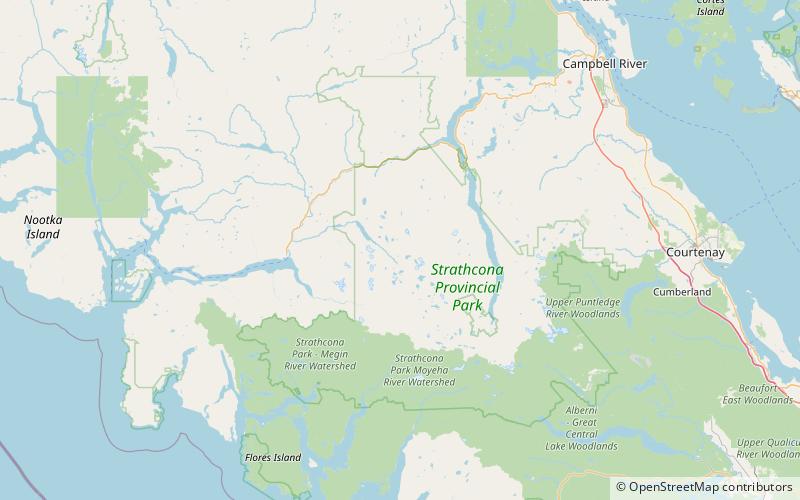
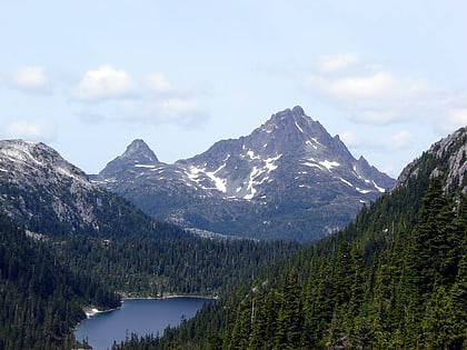
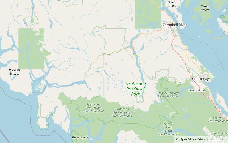
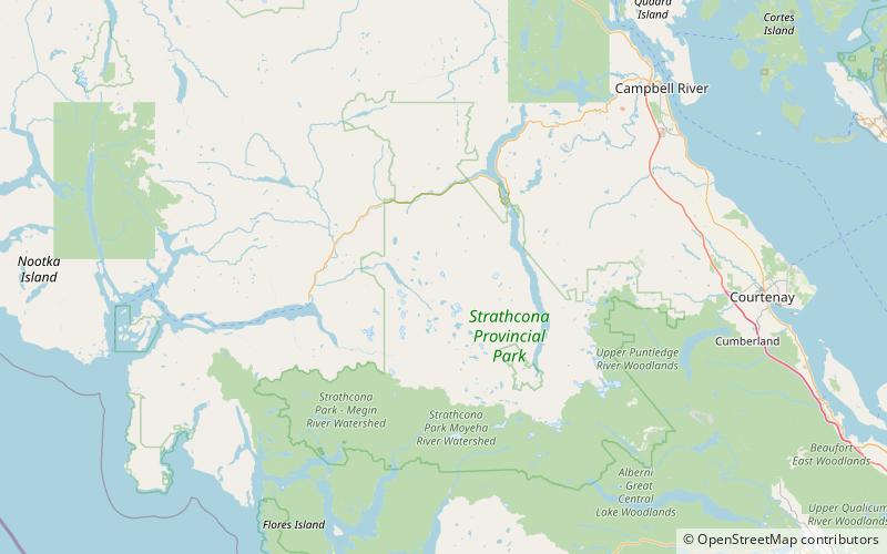
Mount DeVoe is a mountain on Vancouver Island, British Columbia, Canada, located 20 km southeast of Gold River and 5 km south of Rambler Peak. ()
Strathcona Provincial Park Canada
Mount DeVoe – popular in the area (distance from the attraction)
Nearby attractions include: Golden Hinde Mountain, Vancouver Island Ranges, Insular Mountains, Mount Colonel Foster.
 Nature, Natural attraction, Mountain
Golden Hinde Mountain
86 min walk • The Golden Hinde is a mountain located in the Vancouver Island Ranges on Vancouver Island, British Columbia, Canada. At 2,195 metres, it is the highest peak on the island.
 Mountain
Vancouver Island Ranges, Strathcona Provincial Park
47 min walk • The Vancouver Island Ranges, formerly called the Vancouver Island Mountains, are a series of mountain ranges extending along the length of Vancouver Island which has an area of 31,788 km2. The Vancouver Island Ranges comprise the central and largest part of the island.
 Mountain
Insular Mountains, Strathcona Provincial Park
87 min walk • The Insular Mountains are a range of mountains in the Pacific Coast Ranges on the Coast of British Columbia, Canada, comprising the Vancouver Island Ranges and Queen Charlotte Mountains.
 Nature, Natural attraction, Mountain
Mount Colonel Foster
129 min walk • Mount Colonel Foster is a mountain located on Vancouver Island in Strathcona Regional District, British Columbia, Canada. At 2,135 metres, it is the fourth highest peak on the island. It is one of the nine Island Qualifiers.
 Mountain
Rambler Peak, Strathcona Provincial Park
78 min walk • Rambler Peak is a mountain located on Vancouver Island, British Columbia. The mountain is 23 km east of Gold River and 4 km southeast of Mount Colonel Foster This mountain is a hydrographic divide located at the headwaters of the Elk River. The Wolf, Elk, Ucoma Rivers and Cervus Creek all start at Rambler Peak.
 Mountain
El Piveto Mountain, Strathcona Provincial Park
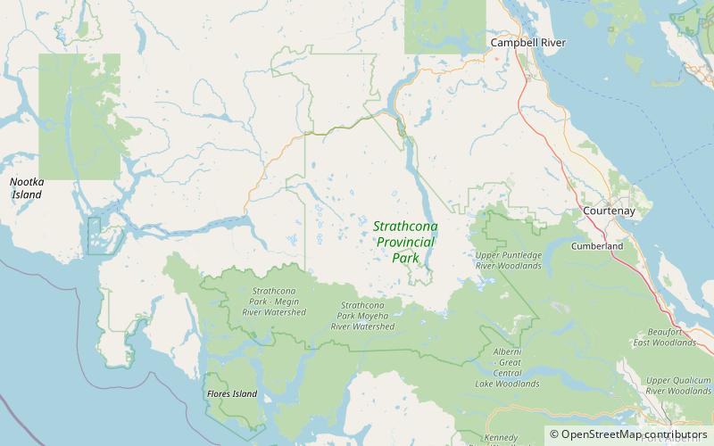
56 min walk • El Piveto Mountain is a mountain located between Wolf River and Cervus Creek on Vancouver Island, British Columbia, 2 km southeast of Rambler Peak and 24 km east of Gold River.
 Mountain
The Behinde, Strathcona Provincial Park
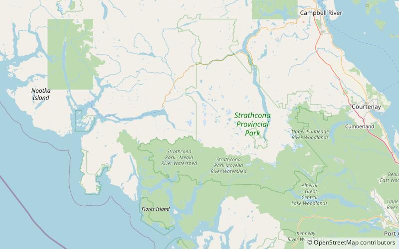
65 min walk • The Behinde is a mountain on Vancouver Island, British Columbia, Canada, located 24 km southeast of Gold River and 2 km west of Golden Hinde. The Behinde is a member of the Vancouver Island Ranges which in turn form part of the Insular Mountains.
 Mountain
Popsicle Peak
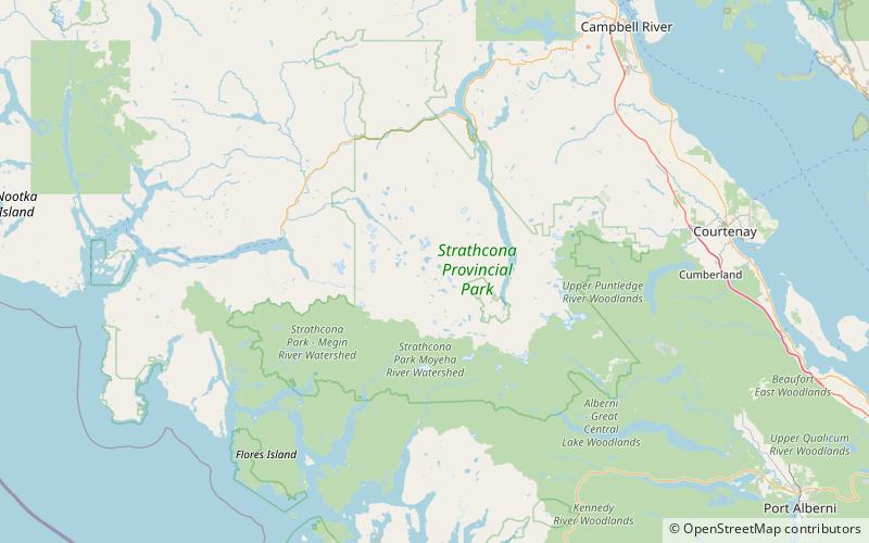
172 min walk • Popsicle Peak is a mountain on Vancouver Island, British Columbia, Canada, located 20 km southeast of Gold River and 4 km southwest of M.S. Mountain.
 Mountain
Mount Burman, Strathcona Provincial Park
149 min walk • Mount Burman is a rounded mountain on Vancouver Island, British Columbia, Canada, located 29 km southeast of Gold River, south of Golden Hinde and west of Schjelderup Lake.
 Mountain
Mount Con Reid, Strathcona Provincial Park
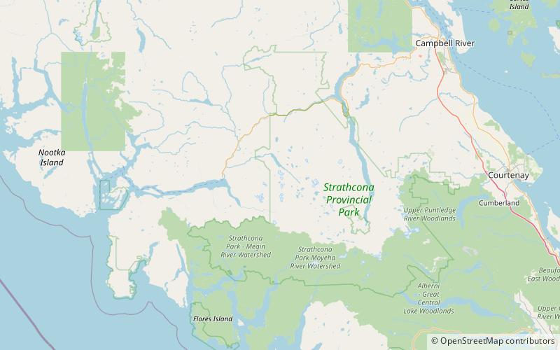
122 min walk • Mount Con Reid is a mountain on Vancouver Island, British Columbia, Canada, located 23 km east of Gold River and 4 km northeast of El Piveto Mountain in Nootka Land District.
 Mountain
Mount Donner, Strathcona Provincial Park
98 min walk • Mount Donner is a mountain on Vancouver Island, British Columbia, Canada, located 15 km southeast of Gold River and 2 km north of Mount Kent-Urquhart.