Pyramid Creek Falls Provincial Park

Gallery (1)
Map
Map
Facts and practical information
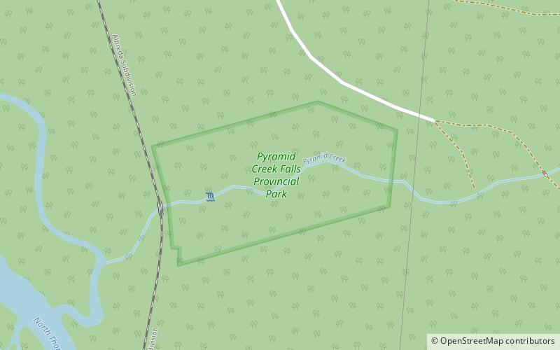
Pyramid Creek Falls Provincial Park is a provincial park in British Columbia, Canada, located on the east side of the North Thompson River between the towns of Blue River and Valemount. ()
Alternative names: Width: 150 ftHeight: 300 ftElevation: 2776 ft a.s.l.Coordinates: 52°21'21"N, 119°9'58"W
Location
British Columbia
ContactAdd
Social media
Add