Lake Magog, Sherbrooke
Map

Map

Facts and practical information
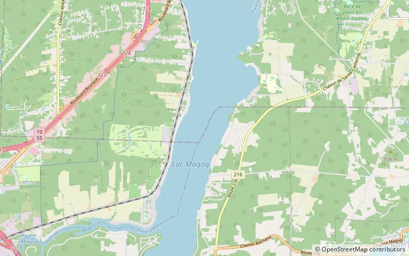
Lake Magog is a freshwater lake located in the Estrie region of Quebec, Canada. It is bordered by three municipalities: Sherbrooke, Magog and Sainte-Catherine-de-Hatley. Located in the Appalachian geological province, Lake Magog consists of sedimentary rock, especially slate and sandstone. Lake Magog is part of the watershed of the St. Francois River, which flows into the St. Lawrence River. ()
Alternative names: Area: 4.17 mi²Length: 6.9 miWidth: 6857 ftMaximum depth: 62 ftElevation: 630 ft a.s.l.Coordinates: 45°18'12"N, 72°2'25"W
Address
Rock Forest-Saint Élie-Deauville (de Deauville)Sherbrooke
ContactAdd
Social media
Add
Day trips
Lake Magog – popular in the area (distance from the attraction)
Nearby attractions include: Mont Boisjoli, Base de plein air André-Nadeau, North Hatley, Université de Sherbrooke.


