Vignoble le Cep d'Argent, Magog
Map

Map

Facts and practical information
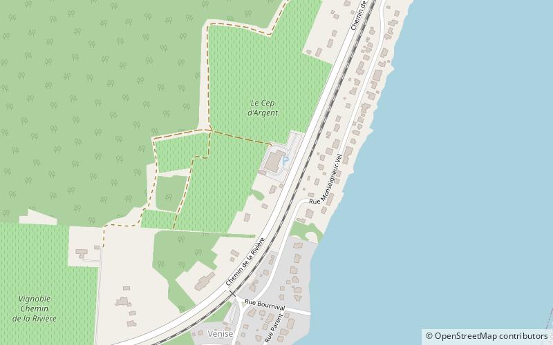
Vignoble le Cep d'Argent (address: 1257, chemin de la Rivière) is a place located in Magog (Québec province) and belongs to the category of winery, food and drink, vineyard.
It is situated at an altitude of 692 feet, and its geographical coordinates are 45°17'28"N latitude and 72°3'22"W longitude.
Among other places and attractions worth visiting in the area are: Lake Magog, Sherbrooke (nature, 30 min walk), North Hatley (village, 107 min walk), Base de plein air André-Nadeau, Sherbrooke (park, 109 min walk).
Coordinates: 45°17'28"N, 72°3'22"W
Day trips
Vignoble le Cep d'Argent – popular in the area (distance from the attraction)
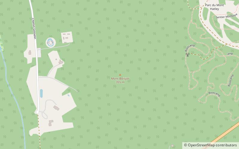
Nearby attractions include: Lake Magog, Lake Massawippi, Centre d'arts visuels et Musée d'art naïf, Mont Boisjoli.


