Cathcart Tower, Kingston
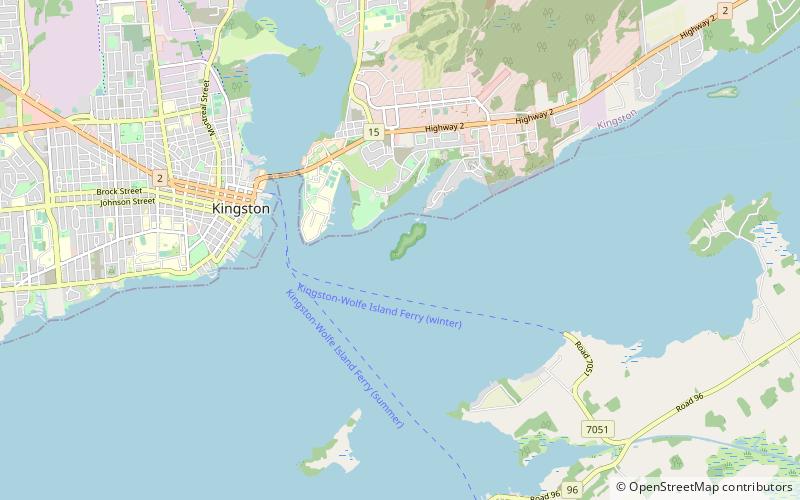
Map
Facts and practical information
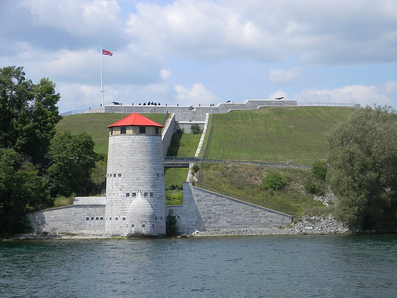
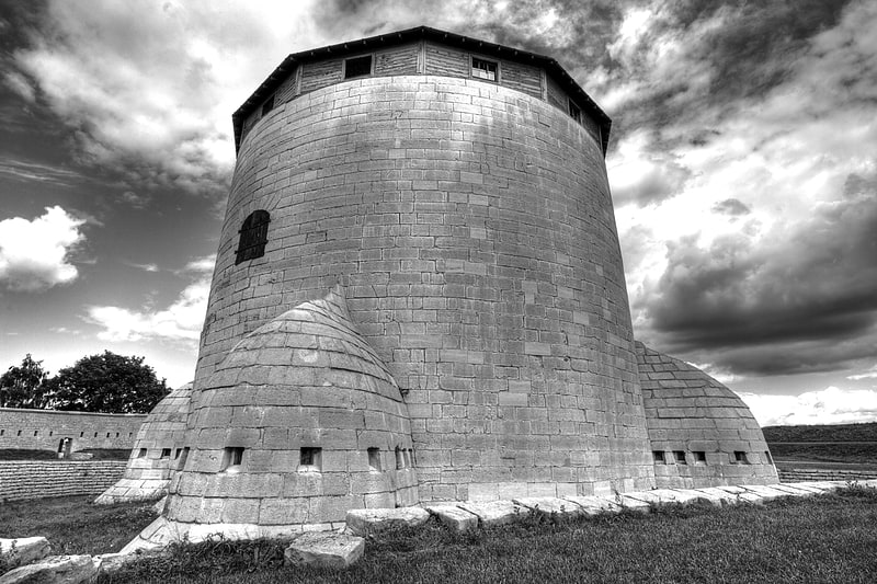
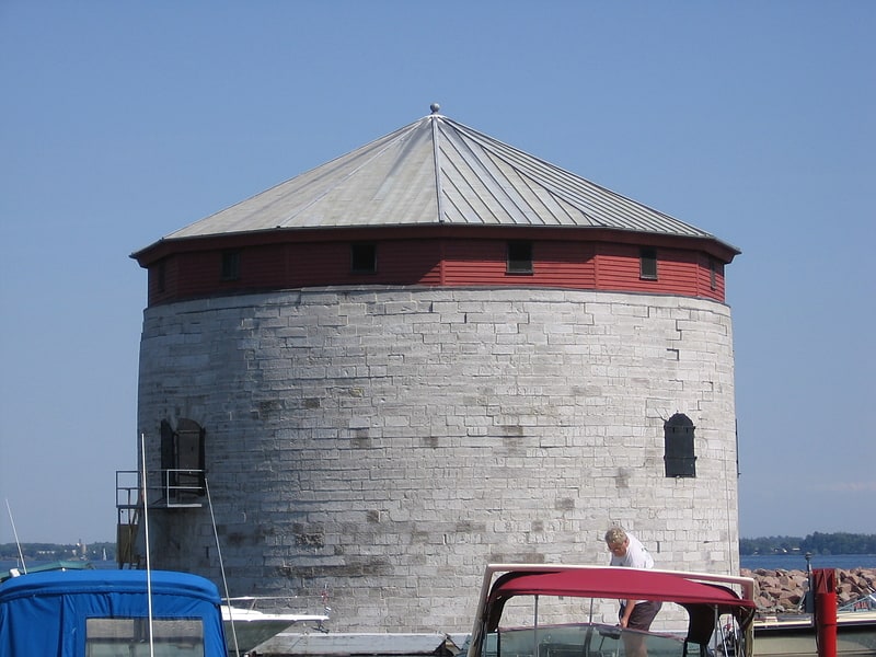
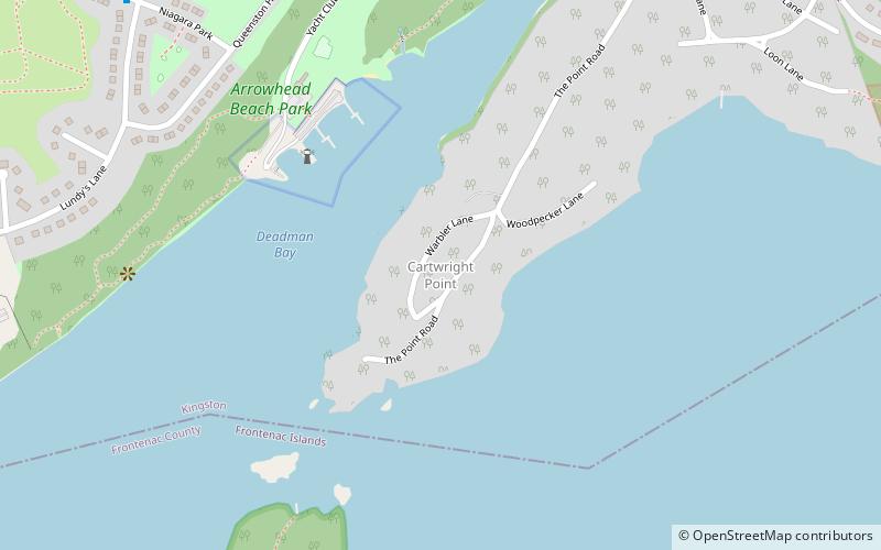
Cathcart Tower is a Martello tower located on Cedar Island in the St. Lawrence River, off the eastern shore of Fort Henry in Kingston, Ontario, Canada. It is one of four such towers built in the 1840s to protect Kingston's harbour and the entrance to the Rideau Canal. The other towers are: Fort Frederick, Shoal Tower, and Murney Tower. Alexander Mackenzie was a foreman on the construction of the Carthcart Tower and later went on to become Canada's second prime minister 1873–1878. It was his work crew whose boat capsized while returning from Cedar Island, drowning 17 men. Hamilton Cove was subsequently renamed Deadman's Bay. ()
Built: 1848 (178 years ago)Unesco: from 2007Area: 22.61 acres (0.0353 mi²)Coordinates: 44°13'32"N, 76°27'14"W
Address
Kingston
ContactAdd
Social media
Add
Day trips


Frequently Asked Questions (FAQ)
Which popular attractions are close to Cathcart Tower?
Nearby attractions include Fort Henry, Kingston (12 min walk), Cartwright Point, Kingston (14 min walk), Currie Hall, Kingston (19 min walk), Royal Military College of Canada chapels, Kingston (20 min walk).