Cartwright Point, Kingston
Map
Facts and practical information
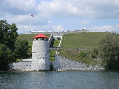
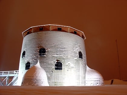
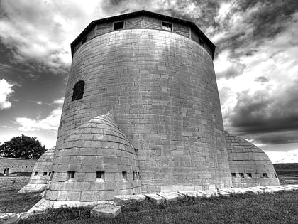
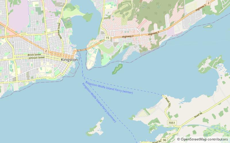
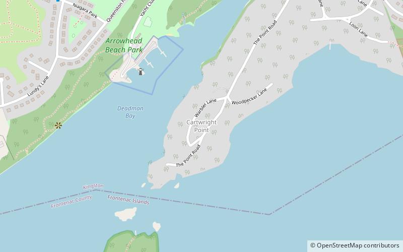
Cartwright Point is a cape and neighbourhood in Kingston, Ontario, Canada. Located east of the city's downtown along the St. Lawrence River in the former Pittsburgh Township, it is bordered by Deadman Bay on its western side, and faces Wolfe Island on its southeastern side. Off the southern tip is Cedar Island and one of Kingston's four Martello Towers. Cartwright Point offers excellent views of the Thousand Islands and historic Fort Henry. ()
Coordinates: 44°13'55"N, 76°26'52"W
Address
CFB KingstonKingston
ContactAdd
Social media
Add
Day trips
Cartwright Point – popular in the area (distance from the attraction)
Nearby attractions include: Fort Henry, Royal Military College of Canada Museum, Fort Frederick, Currie Hall.
Frequently Asked Questions (FAQ)
Which popular attractions are close to Cartwright Point?
Nearby attractions include Cathcart Tower, Kingston (14 min walk), Fort Henry, Kingston (15 min walk), Military Communications and Electronics Museum, Kingston (21 min walk).
