Allen station, Waterloo
Map
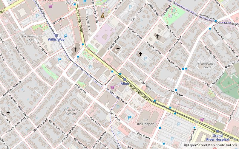
Map

Facts and practical information
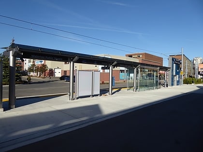
Allen is a stop on the Region of Waterloo's Ion rapid transit system. It is located in the median of King Street in Waterloo, between Allen and John Streets. It opened in 2019. ()
Opened: 21 June 2019Coordinates: 43°27'37"N, 80°31'8"W
Address
Uptown WaterlooWaterloo
ContactAdd
Social media
Add
Day trips
Allen station – popular in the area (distance from the attraction)
Nearby attractions include: Canadian Clay and Glass Gallery, Waterloo Park, Victoria Park, Joseph Schneider Haus.
Frequently Asked Questions (FAQ)
Which popular attractions are close to Allen station?
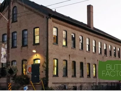
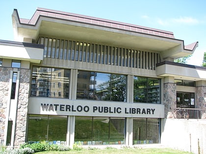
Nearby attractions include Button Factory Arts, Waterloo (8 min walk), Waterloo Public Square, Waterloo (8 min walk), Waterloo Public Library, Waterloo (13 min walk), Canadian Clay and Glass Gallery, Waterloo (13 min walk).
How to get to Allen station by public transport?
The nearest stations to Allen station:
Light rail
Bus
Light rail
- Allen • Lines: 301 (1 min walk)
- Willis Way • Lines: 301 (7 min walk)
Bus
- Union / Mary • Lines: 4 (6 min walk)
- King / Waterloo Public Square • Lines: 5, 7 (9 min walk)


