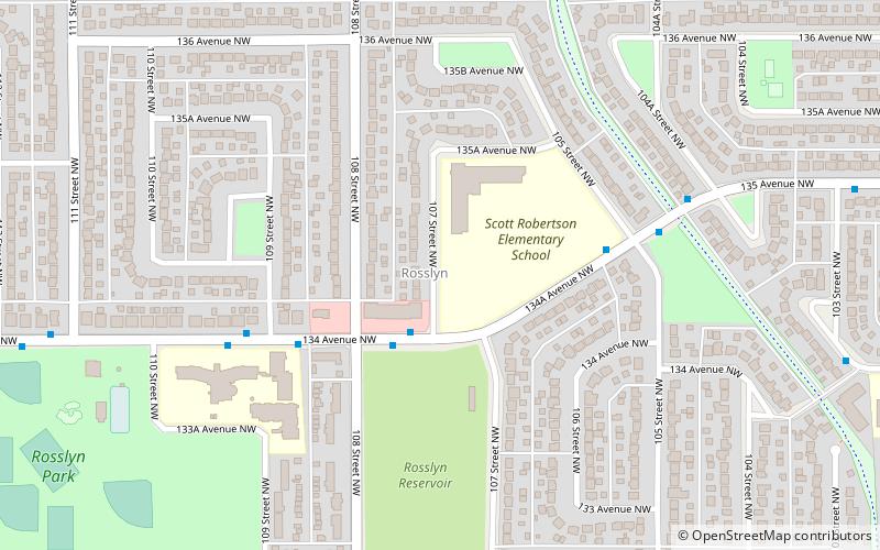
Rosslyn, Edmonton
Map
Facts and practical information
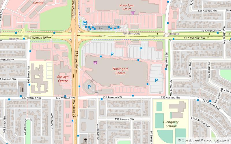
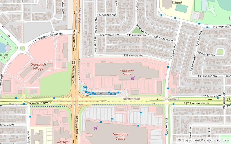
Rosslyn is a residential neighbourhood in north west Edmonton, Alberta, Canada. The neighbourhood has good access to shopping services at Northgate Centre and North Town Mall. ()
Area: 0.52 mi²Coordinates: 53°35'45"N, 113°30'18"W
Address
Northwest Edmonton (Rosslyn)Edmonton
ContactAdd
Social media
Add
Getting there by public transportation
Public transportation stops near this location
- Bus
- Train
 Bus
Bus
- Calculate route137 Ave & 108 Street 7 min walk
- Calculate routeEdmonton 40 min walk
Day trips
Frequently Asked Questions (FAQ)
Which popular attractions are close to Rosslyn?
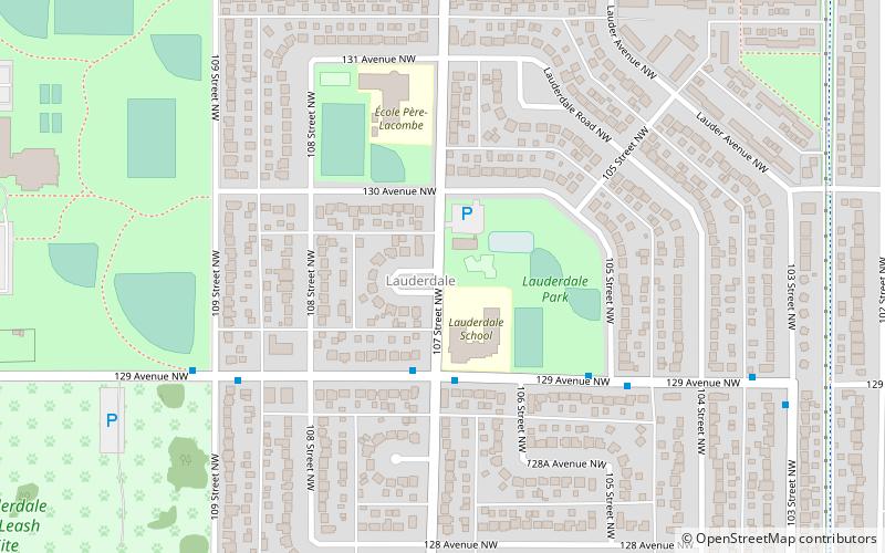
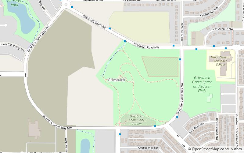
Nearby attractions include Lauderdale, Edmonton (13 min walk), Griesbach, Edmonton (20 min walk).
How to get to Rosslyn by public transport?
The nearest stations to Rosslyn:
Bus
Train
Bus
- 137 Ave & 108 Street • Lines: 137 (7 min walk)
Train
- Edmonton (40 min walk)