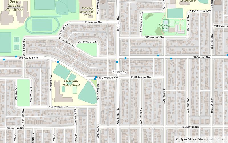
Killarney, Edmonton
Map
Facts and practical information
Area: 0.51 mi²Coordinates: 53°35'19"N, 113°28'48"W
Address
Northeast Edmonton (Killarney)Edmonton
ContactAdd
Social media
Add
Getting there by public transportation
Public transportation stops near this location
- Bus
 Bus
Bus
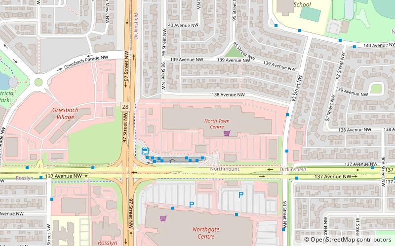
- Calculate routeNorthgate Transit Centre 23 min walk
- Calculate route137 Ave & 104A Street 29 min walk
Day trips
Frequently Asked Questions (FAQ)
Which popular attractions are close to Killarney?
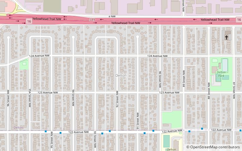
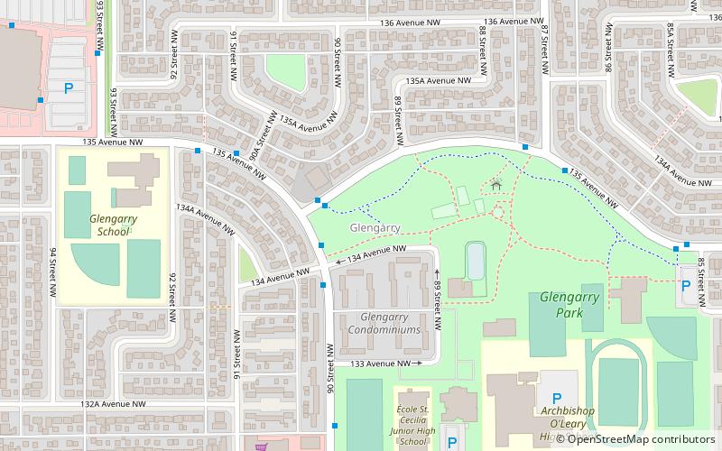
Nearby attractions include Glengarry, Edmonton (13 min walk), Delton, Edmonton (17 min walk).
How to get to Killarney by public transport?
The nearest stations to Killarney:
Bus
Bus
- Northgate Transit Centre • Lines: 137 (23 min walk)
- 137 Ave & 104A Street • Lines: 137 (29 min walk)