Woodcroft, Edmonton
Map
Gallery
Facts and practical information
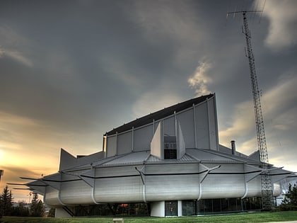
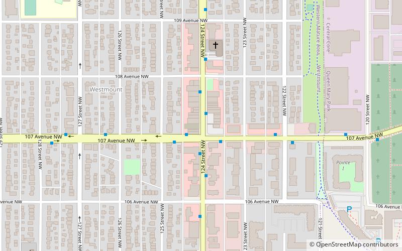
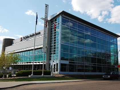
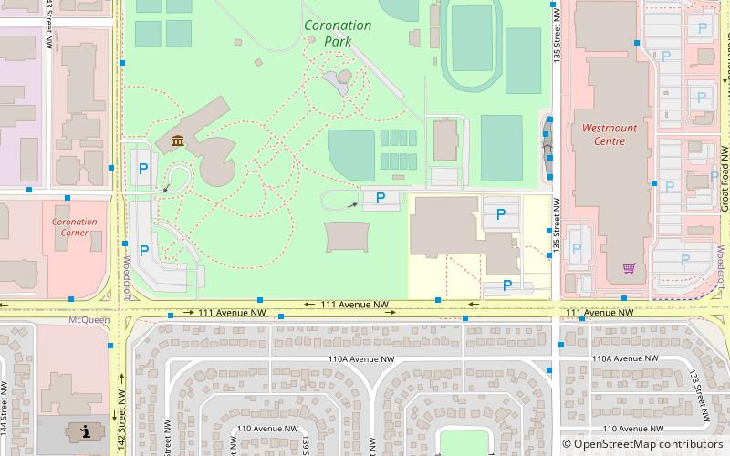
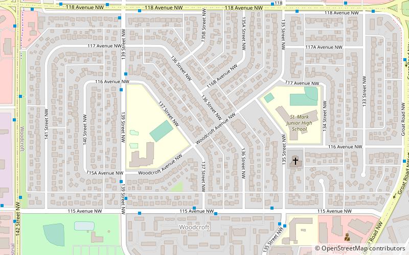
Woodcroft is a neighbourhood located in northwest Edmonton, Alberta, Canada. Surrounded by a mixture of residential neighbourhoods and light industrial subdivisions, it is bounded by 118 Avenue to the north, Groat Road to the east, 111 Avenue to the south, and 142 Street to the west. The neighbourhoods is home to Coronation Park and the Telus World of Science. ()
Area: 0.5 mi²Coordinates: 53°34'2"N, 113°33'29"W
Address
Northwest Edmonton (Woodcroft)Edmonton
ContactAdd
Social media
Add
Day trips
Woodcroft – popular in the area (distance from the attraction)
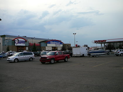
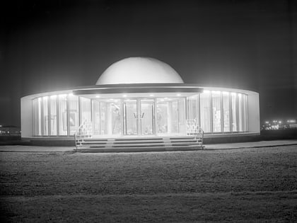
Nearby attractions include: Telus World of Science, Roxy Theatre, Westmount Centre, Queen Elizabeth Planetarium.
Frequently Asked Questions (FAQ)
Which popular attractions are close to Woodcroft?
Nearby attractions include Telus World of Science, Edmonton (13 min walk), Edmonton-Glenora, Edmonton (14 min walk), Dovercourt, Edmonton (14 min walk), Queen Elizabeth Planetarium, Edmonton (15 min walk).
How to get to Woodcroft by public transport?
The nearest stations to Woodcroft:
Bus
Train
Bus
- 115 Ave & 137 Street • Lines: 122 (4 min walk)
- 139 Street & 115 Ave • Lines: 122 (5 min walk)
Train
- Edmonton (36 min walk)

