Locarno Beach, Vancouver
Map
Facts and practical information
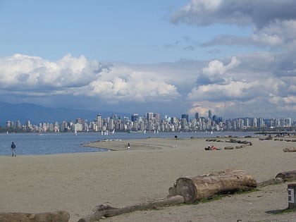
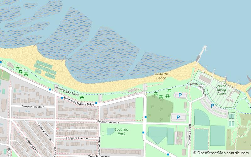
Locarno Beach is one of the beaches that line English Bay in Vancouver. It is situated in the West Point Grey neighbourhood, between Jericho Beach and the Spanish Banks beaches. It was named after the Swiss city where a peace treaty was signed in 1925. ()
Elevation: 7 ft a.s.l.Coordinates: 49°16'32"N, 123°12'25"W
Day trips
Locarno Beach – popular in the area (distance from the attraction)
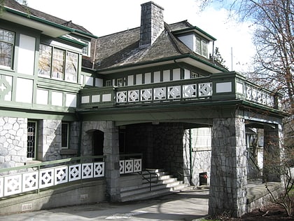
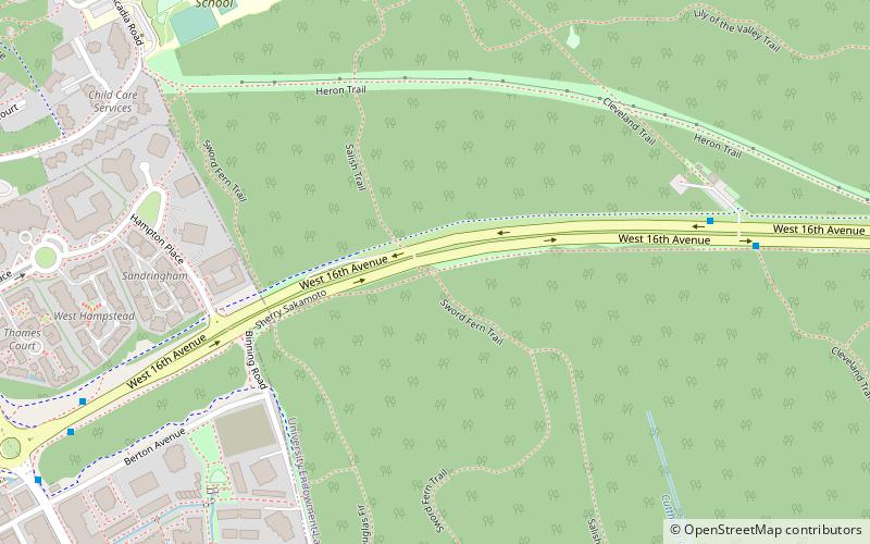
Nearby attractions include: University Golf Club, Hastings Mill Park, Aberthau House, Spanish Banks.
Frequently Asked Questions (FAQ)
Which popular attractions are close to Locarno Beach?
Nearby attractions include Aberthau House, Vancouver (8 min walk), Spanish Banks, Vancouver (12 min walk), Jericho Beach, Vancouver (17 min walk), Hastings Mill Park, Vancouver (24 min walk).
How to get to Locarno Beach by public transport?
The nearest stations to Locarno Beach:
Trolleybus
Bus
Trolleybus
- West 4th Ave at Trimble St • Lines: 4 (12 min walk)
Bus
- West 4th Ave at Tolmie St • Lines: 84 (13 min walk)
 SkyTrain