West Point Grey, Vancouver
Map
Map

Facts and practical information
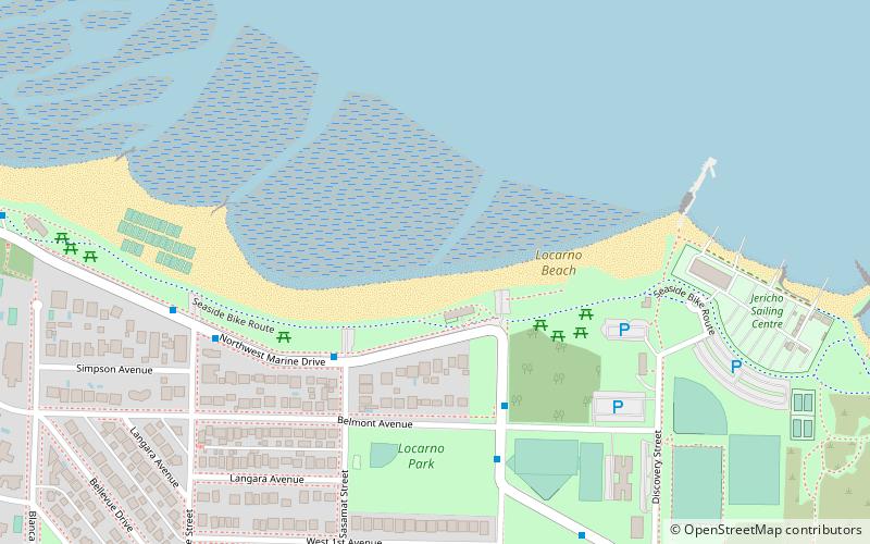
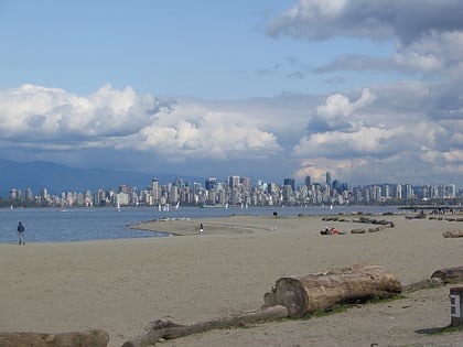
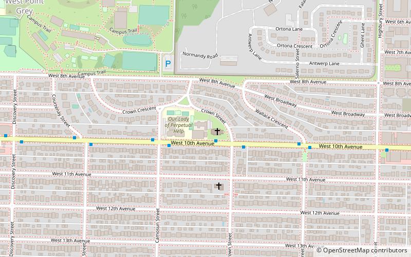
West Point Grey is a neighbourhood in the northwest of the city of Vancouver, British Columbia, Canada. It is located on Point Grey and is bordered by 16th Avenue to the south, Alma Street to the east, English Bay to the north, and Blanca Street to the west. Notable beaches within the West Point Grey boundary include Spanish Banks, Locarno and Jericho. Immediately to the south is Pacific Spirit Regional Park and to the east is Kitsilano. ()
Address
West Point GreyVancouver
ContactAdd
Social media
Add
Day trips
West Point Grey – popular in the area (distance from the attraction)
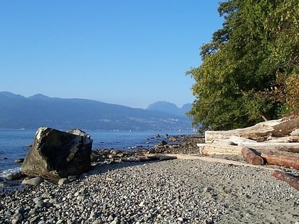
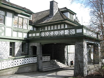
Nearby attractions include: Hastings Mill Park, Locarno Beach, Pacific Spirit Regional Park, Aberthau House.
Frequently Asked Questions (FAQ)
Which popular attractions are close to West Point Grey?
Nearby attractions include Jericho Beach, Vancouver (16 min walk), Aberthau House, Vancouver (18 min walk), Hastings Mill Park, Vancouver (18 min walk).
How to get to West Point Grey by public transport?
The nearest stations to West Point Grey:
Trolleybus
Bus
Trolleybus
- West 10th Avenue at Crown Street • Lines: 14 (2 min walk)
Bus
- West 4th Ave at 4100 Block • Lines: 84 (9 min walk)
- West 16th Ave at Camosun St • Lines: 25, 33 (11 min walk)

 SkyTrain
