Draper Street, Toronto
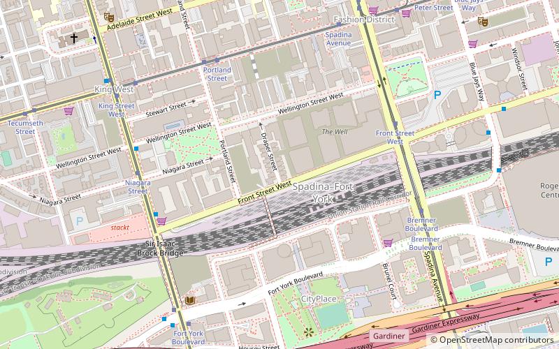
Map
Facts and practical information
Draper Street is a street in downtown Toronto, Ontario, Canada. It is a north-south street located to the west of Spadina Avenue, from Front Street West north to Wellington Street. Draper Street is notable for its collection of 28 nineteenth-century row cottages of the Second Empire style. They were designated by the City of Toronto government in the 1990s to have heritage status. The entire street is designated as a Heritage Conservation District as a way to preserve its heritage for posterity. ()
Coordinates: 43°38'31"N, 79°23'51"W
Day trips
Draper Street – popular in the area (distance from the attraction)
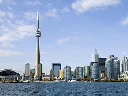
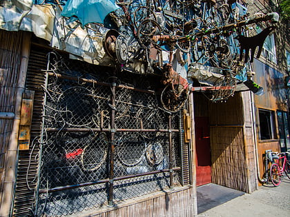
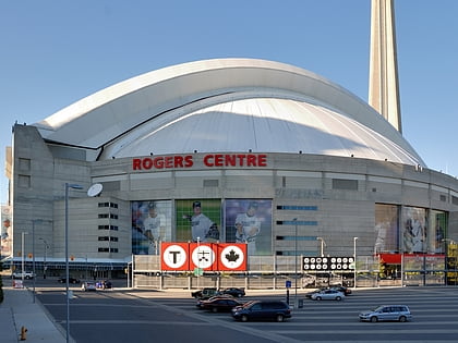
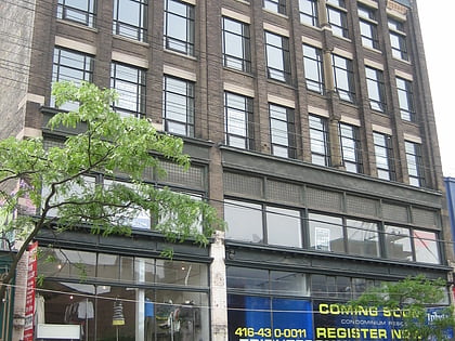
Nearby attractions include: CN Tower, Bovine Sex Club, Rogers Centre, Burroughes Building.
Frequently Asked Questions (FAQ)
Which popular attractions are close to Draper Street?
Nearby attractions include Victoria Memorial Square, Toronto (4 min walk), CityPlace, Toronto (6 min walk), Canoe Landing Park, Toronto (6 min walk), Sir Isaac Brock Bridge, Toronto (6 min walk).
How to get to Draper Street by public transport?
The nearest stations to Draper Street:
Tram
Ferry
Bus
Metro
Train
Tram
- Front Street West • Lines: 510A, 510B (5 min walk)
- Portland Street • Lines: 504A, 504B (6 min walk)
Ferry
- Bathurst Street Terminal • Lines: Billy Bishop Airport Ferry (15 min walk)
- Billy Bishop Terminal • Lines: Billy Bishop Airport Ferry (17 min walk)
Bus
- Fleet Street • Lines: 363 (17 min walk)
- Canniff Street • Lines: 363, 63 (19 min walk)
Metro
- St. Andrew • Lines: 1 (20 min walk)
- Osgoode • Lines: 1 (21 min walk)
Train
- Toronto Union Station (23 min walk)
- Exhibition (30 min walk)
 Subway
 Streetcar system
 PATH
PATH