The Annex, Toronto
Map

Gallery
Facts and practical information
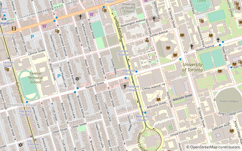
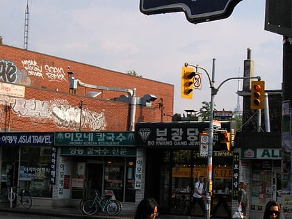
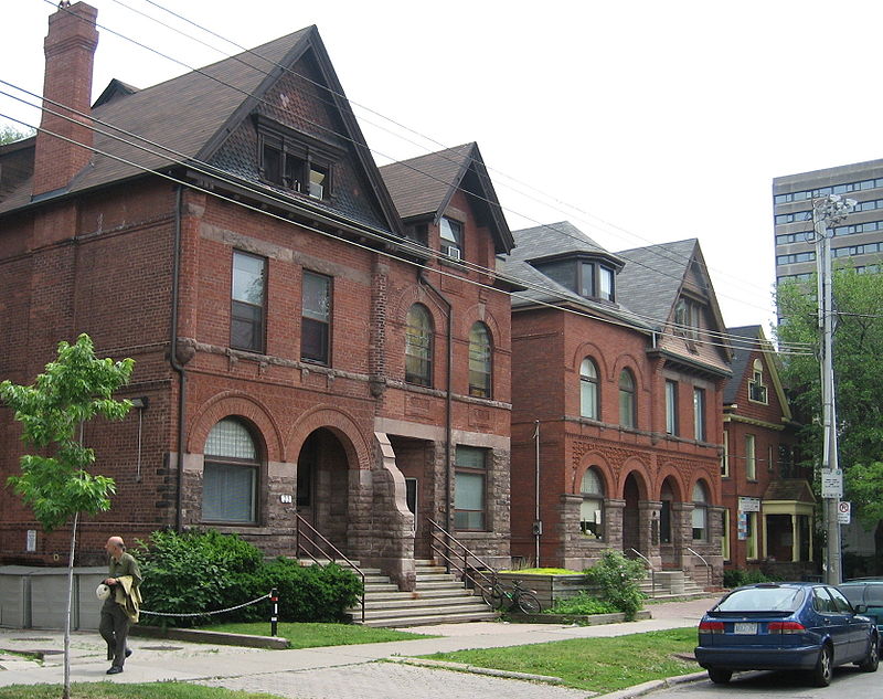
The Annex is a neighbourhood in Downtown Toronto, Ontario, Canada. The traditional boundaries of the neighbourhood are north to Dupont Street, south to Bloor Street, west to Bathurst Street and east to Avenue Road. The City of Toronto recognizes a broader neighbourhood definition that includes the adjacent Seaton Village and Yorkville areas. ()
Day trips
The Annex – popular in the area (distance from the attraction)
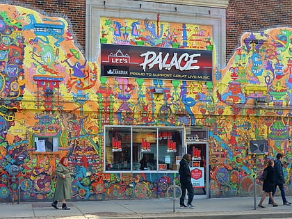
Nearby attractions include: Lee's Palace, Casa Loma, Bata Shoe Museum, Bloor Cinema.
Frequently Asked Questions (FAQ)
Which popular attractions are close to The Annex?
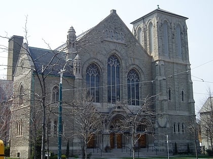
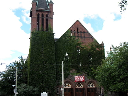
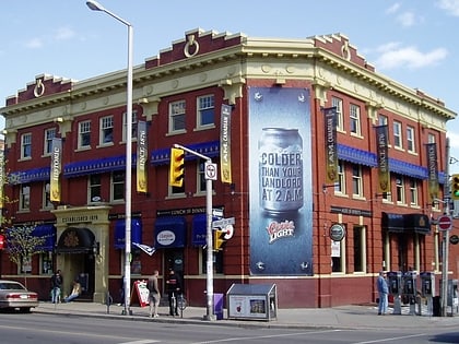
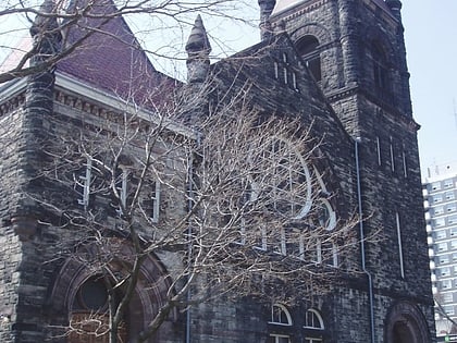
Nearby attractions include Walmer Road Baptist Church, Toronto (7 min walk), Brunswick House, Toronto (8 min walk), Trinity-St. Paul's United Church, Toronto (8 min walk), St. Peter's Roman Catholic Church, Toronto (9 min walk).
How to get to The Annex by public transport?
The nearest stations to The Annex:
Metro
Tram
Bus
Metro
- Spadina • Lines: 1, 2 (6 min walk)
- Bathurst • Lines: 2 (9 min walk)
Tram
- Bathurst Station • Lines: 511 (7 min walk)
- Spadina Station • Lines: 510A, 510B, 510C (8 min walk)
Bus
- Dupont Street • Lines: 19 (13 min walk)
- St. George (14 min walk)

 Subway
 Streetcar system
 PATH
PATH