Starling, Edmonton
#448 among attractions in Edmonton
Facts and practical information
Northwest Edmonton (Starling)Edmonton Canada
Starling – popular in the area (distance from the attraction)
Nearby attractions include: St. Albert Grain Elevator Park, Big Lake, Holy Cross Cemetery, Lois Hole Centennial Provincial Park.
 Museum
St. Albert Grain Elevator Park, St. Albert
76 min walk • St. Albert Grain Elevator Park is an open-air museum which features two historic grain elevators and a reconstructed railway station.
 Nature, Natural attraction, Lake
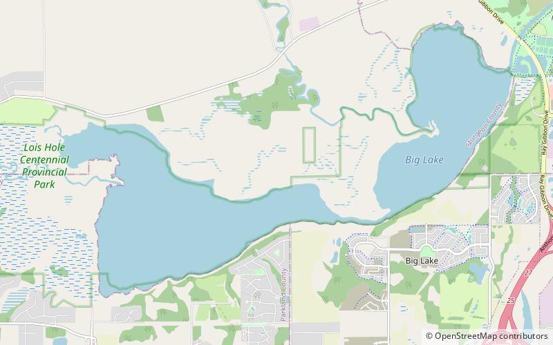
Big Lake, St. Albert
64 min walk • Big Lake is a lake in Edmonton metropolitan region, Canada. It is located adjacent to the northwest corner of Edmonton and the southwest corner of St. Albert. Its primary inflow is the Sturgeon River.
 Cemetery
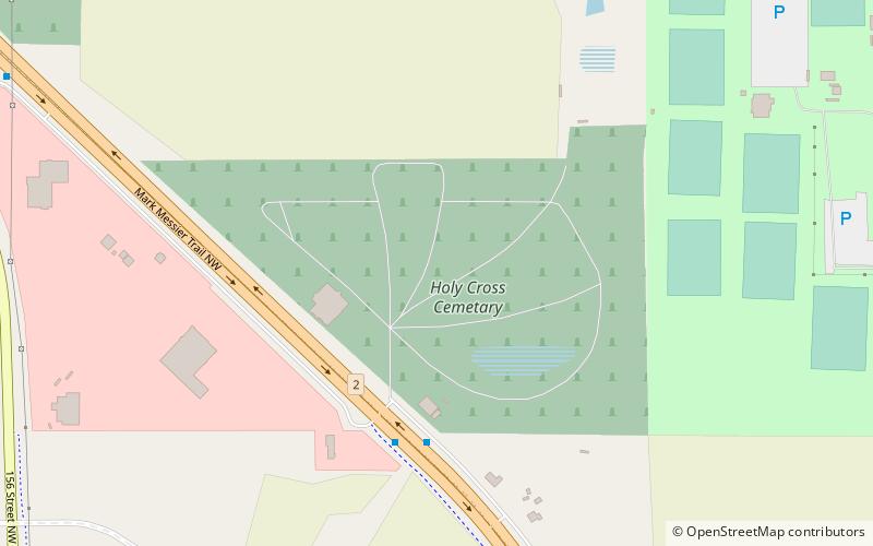
Holy Cross Cemetery, Edmonton
85 min walk • Holy Cross Cemetery is a Roman Catholic cemetery located at 14611 Mark Messier Trail NW in Edmonton, Alberta, Canada. The cemetery is owned and operated by the Roman Catholic Archdiocese of Edmonton and was opened by the archdiocese in 1954.
 Park
ParkLois Hole Centennial Provincial Park
81 min walk • Lois Hole Centennial Provincial Park is a provincial park in Alberta, Canada, located immediately west from Edmonton and St. Albert. It was named after Lois Hole, former Lieutenant Governor of Alberta. The park is situated on the shores of Big Lake, on the lower course of the Sturgeon River, at an elevation of 660 m.
 Neighbourhood
Britannia Youngstown, Edmonton
100 min walk • Britannia Youngstown is a residential neighbourhood in west Edmonton, Alberta, Canada. Originally part of the Town of Jasper Place, it became part of Edmonton when Jasper Place amalgamated with Edmonton in 1964.
 Neighbourhood
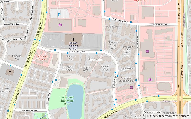
Terra Losa, Edmonton
108 min walk • Terra Losa is a mixed residential and commercial neighbourhood located in west Edmonton, Alberta, Canada. It is bounded on the east by 170 Street, on the south by 95 Avenue, on the west by 178 Street, and on the north by 100 Avenue and 99A Avenue.
 Neighbourhood
Pintail Landing, Edmonton
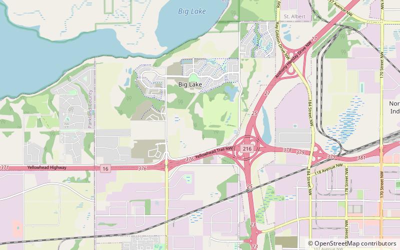
31 min walk • Pintail Landing is a future neighbourhood in northwest Edmonton, Alberta, Canada. It was named for northern pintail ducks that are native to nearby Big Lake.
 Neighbourhood
Hawks Ridge, Edmonton
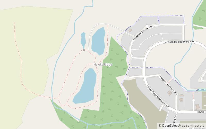
46 min walk • Hawks Ridge is a neighbourhood in northwest Edmonton, Alberta, Canada that was established in 2010 through the adoption of the Big Lake Neighbourhood Three Neighbourhood Structure Plan, which was renamed as the Hawks Ridge NSP in July 2011.
 Neighbourhood
Kinglet Gardens, Edmonton
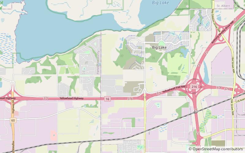
53 min walk • Kinglet Gardens is a future neighbourhood in northwest Edmonton, Alberta, Canada. It was named for golden-crowned kinglets and ruby-crowned kinglets that are native to nearby Big Lake.
 Neighbourhood
Stewart Greens, Edmonton
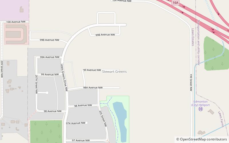
97 min walk • Stewart Greens is a new neighbourhood in west Edmonton, Alberta, Canada. It is bounded on the east by Anthony Henday Drive and on the north by Stony Plain Road. Stony Plain Road provides access to locations west of the city.
 Neighbourhood
Place LaRue, Edmonton
94 min walk • Place LaRue is a commercial neighbourhood located in west Edmonton, Alberta, Canada. According to the 2001 federal census, there were only 75 private dwellings located in the neighbourhood. By 2005, this had declined to 51. As of the 2019 municipal census, the population is 0.