Lake Massawippi
Map

Gallery

Facts and practical information
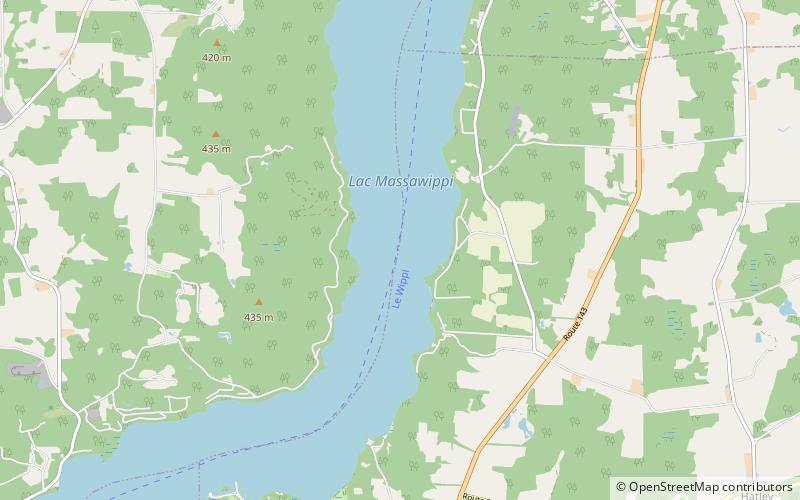
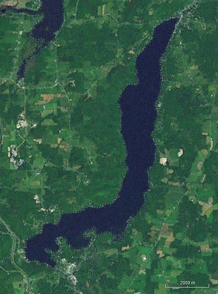
Lake Massawippi is a freshwater lake in Memphrémagog Regional County Municipality in the Estrie region of Quebec, Canada. The Tomifobia River is the source of the lake at its southern tip, near the village of Ayer's Cliff, Quebec. In early records, the lake was also called "Lake Tomifobi". The current of the lake flows north, funneling into the Massawippi River at the village of North Hatley, Quebec on Massawippi's northern shore. ()
Alternative names: Area: 6.95 mi²Length: 8.82 miWidth: 6234 ftMaximum depth: 281 ftElevation: 525 ft a.s.l.Coordinates: 45°12'57"N, 71°59'53"W
Location
Québec
ContactAdd
Social media
Add
Day trips
Lake Massawippi – popular in the area (distance from the attraction)
Nearby attractions include: Marina Massawippi, North Hatley, Vignoble le Cep d'Argent.


