Stave Lake
Map

Gallery

Facts and practical information
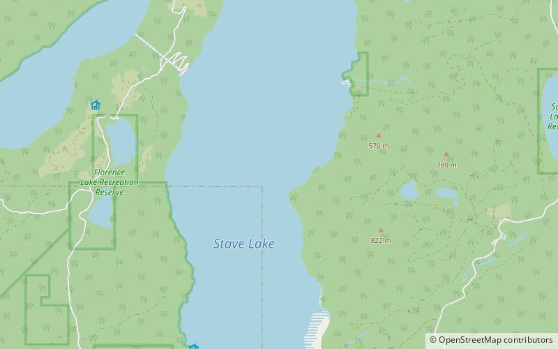
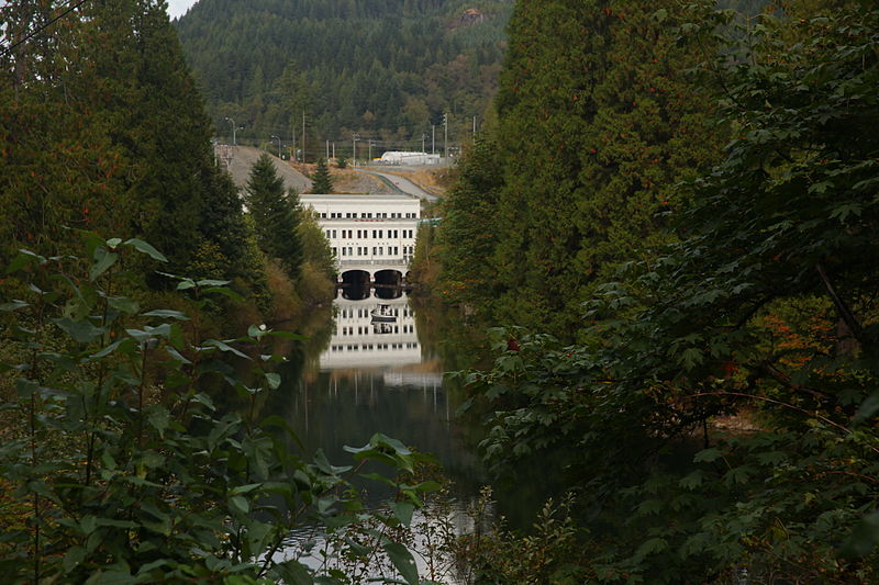
Stave Lake is a lake and reservoir for the production of hydroelectricity in the Stave River system, located on the northern edge of the District of Mission, about 65 km east of Vancouver, British Columbia, Canada. The main arm of the lake is about 20 km long from north to south and its southwest arm, ending at Stave Falls Dam near Stave Falls, is about 9.5 km long. The total area of the lake currently is about 55 square kilometres. Prior to construction of the dam, the lake was about one-third the size of its current main arm. ()
Elevation: 276 ft a.s.l.Coordinates: 49°21'18"N, 122°17'24"W
Location
British Columbia
ContactAdd
Social media
Add
Day trips
Stave Lake – popular in the area (distance from the attraction)
Nearby attractions include: Mount Robie Reid, Alouette Lake.


