Surrey Bend Regional Park, Surrey
Map
Facts and practical information
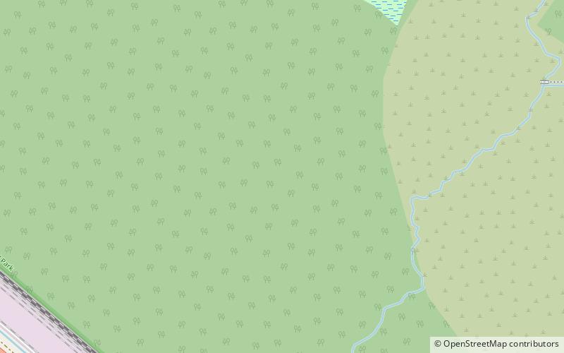
Surrey Bend Regional Park is an 860-acre park in Surrey, British Columbia. It's located along the Fraser River and Parsons Channel, and most of its area is a floodplain. The wetlands are home to many different species of wildlife, including birds and fish. There are 4 kilometres of multi use trails, picnic areas, and interpretive exhibits. ()
Elevation: 20 ft a.s.l.Coordinates: 49°12'14"N, 122°44'38"W
Address
GuildfordSurrey
ContactAdd
Social media
Add
Getting there by public transportation
Public transportation stops near this location
- Bus
- Ferry
 Bus
Bus
- Calculate route108 Ave at 168 St 18 min walk
- Calculate route168 St at 104 Ave 26 min walk
- Calculate routePort Kells 30 min walk
- Calculate routeBarnston Island 32 min walk
Day trips


Frequently Asked Questions (FAQ)
How to get to Surrey Bend Regional Park by public transport?
The nearest stations to Surrey Bend Regional Park:
Bus
Ferry
Bus
- 108 Ave at 168 St • Lines: 337 (18 min walk)
- 168 St at 104 Ave • Lines: 337 (26 min walk)
Ferry
- Port Kells • Lines: Barnston Island Ferry (30 min walk)
- Barnston Island • Lines: Barnston Island Ferry (32 min walk)