Petrie Island, Ottawa
Map
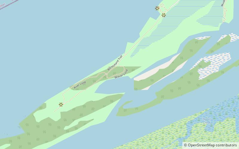
Map

Facts and practical information
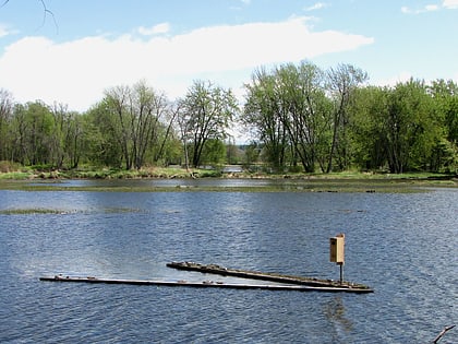
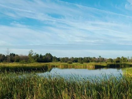
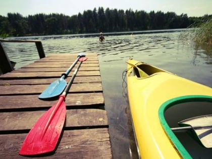
Petrie Island is an island of parkland and recreational areas situated in the Ottawa River in the eastern part of the city of Ottawa, Ontario, Canada. The island has several nearby islands and the general collection of islands is also called Petrie Island. ()
Elevation: 144 ft a.s.l.Coordinates: 45°29'59"N, 75°30'0"W
Address
727 Trim RoadOttawa
ContactAdd
Social media
Add
Day trips
Petrie Island – popular in the area (distance from the attraction)
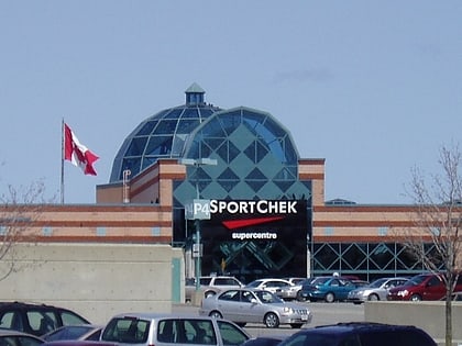
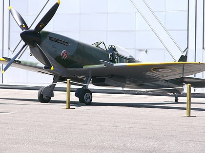
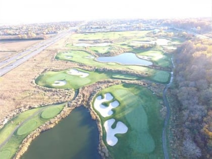
Nearby attractions include: Place d'Orléans, Vintage Wings of Canada, Petrie Island Beach, Pine View Golf Course.
Frequently Asked Questions (FAQ)
Which popular attractions are close to Petrie Island?
Nearby attractions include Petrie Island Beach, Ottawa (18 min walk), Oziles' Marina and Tackle shop, Ottawa (20 min walk).
How to get to Petrie Island by public transport?
The nearest stations to Petrie Island:
Bus
Bus
- Jeanne d'Arc / Parkrose • Lines: 38 (14 min walk)
