Chaperal, Ottawa
Map
Facts and practical information
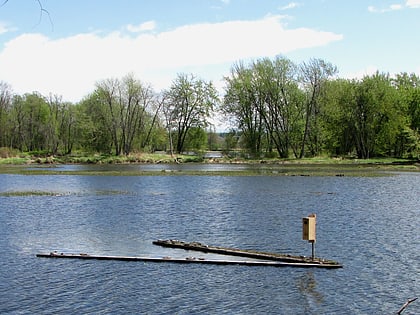
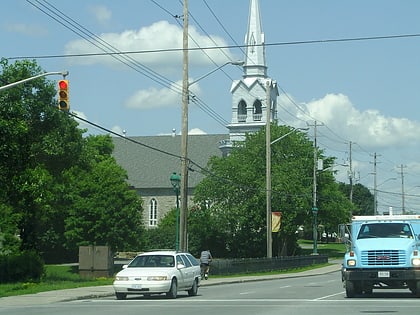
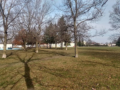
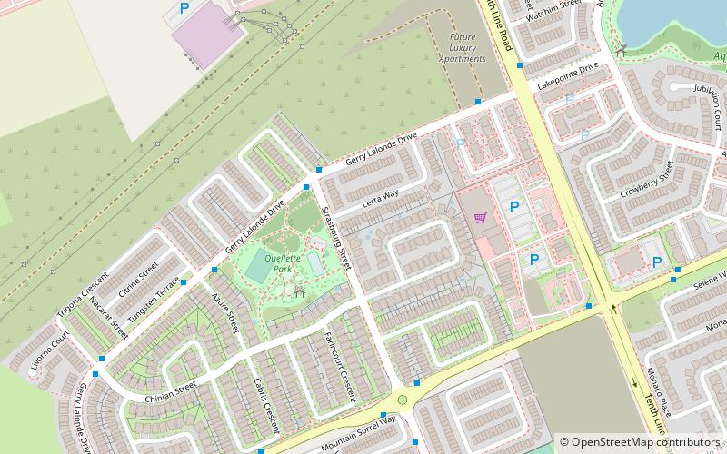
Chaperal is a neighbourhood located in the suburban Orleans area, in the east-end of the city of Ottawa, Ontario. ()
Coordinates: 45°27'7"N, 75°29'16"W
Day trips
Chaperal – popular in the area (distance from the attraction)
Nearby attractions include: Place d'Orléans, Vintage Wings of Canada, Petrie Island Beach, Pine View Golf Course.
Frequently Asked Questions (FAQ)
How to get to Chaperal by public transport?
The nearest stations to Chaperal:
Bus
Bus
- Gerry Lalonde / Strasbourg • Lines: 234 (3 min walk)
- Brian Coburn / Strasbourg • Lines: 30 (5 min walk)


