Associated Canadian Theological Schools, Langley
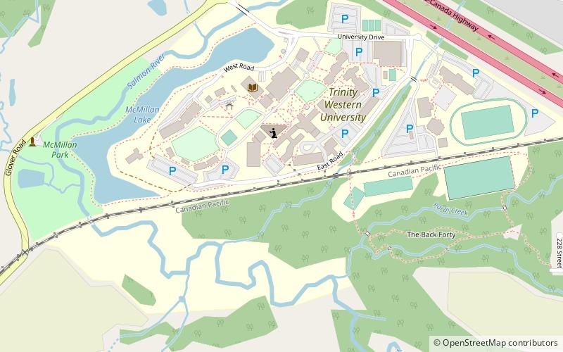
Map
Facts and practical information
The Associated Canadian Theological Schools is an interdenominational consortium of evangelical Christian seminaries in Canada, embedded as a graduate schools of theology within Trinity Western University. Together, the consortium jointly grants master's and doctoral degrees in biblical studies, theology, ministry, linguistics, chaplaincy and marriage and family therapy. ACTS Seminaries is an accredited member of the Association of Theological Schools. ()
Established: 1985 (41 years ago)Coordinates: 49°8'20"N, 122°36'4"W
Getting there by public transportation
Public transportation stops near this location
- Bus
 Bus
Bus
- Calculate routeGlover Rd at Labonte Rd 8 min walk
Day trips
Associated Canadian Theological Schools – popular in the area (distance from the attraction)
Nearby attractions include: Willowbrook Shopping Centre, Langley Events Centre, Fort Langley National Historic Site, Canadian Museum of Flight.


Frequently Asked Questions (FAQ)
Which popular attractions are close to Associated Canadian Theological Schools?
Nearby attractions include Trinity Western University, Langley (2 min walk), Catholic Pacific College, Langley (7 min walk), Milner, Langley (21 min walk).
How to get to Associated Canadian Theological Schools by public transport?
The nearest stations to Associated Canadian Theological Schools:
Bus
Bus
- Glover Rd at Labonte Rd • Lines: 562 (8 min walk)