Kanaka Creek Regional Park, Maple Ridge
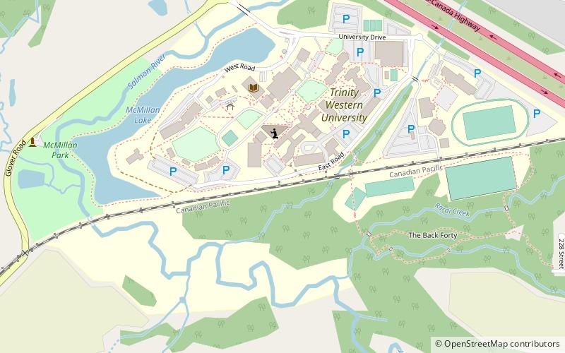
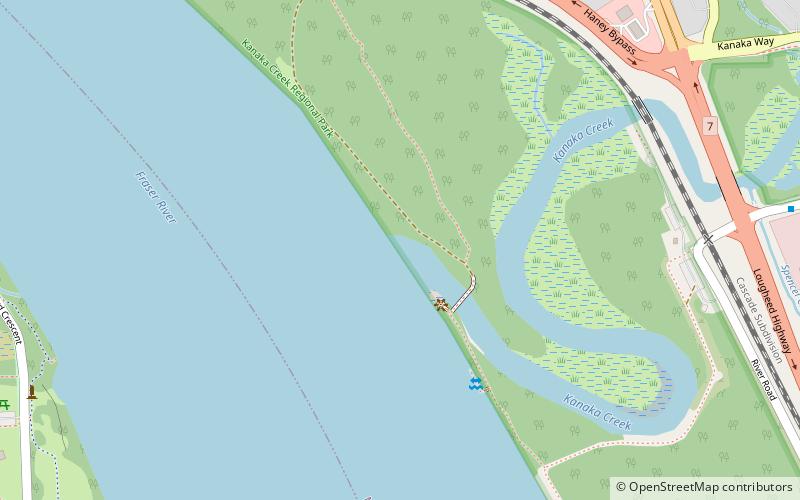
Map
Map

Facts and practical information
Kanaka Creek Regional Park is a regional park of the Greater Vancouver Regional District, located in the city of Maple Ridge, British Columbia, flanking both sides of Kanaka Creek from its confluence with the Fraser River just east of Haney and extending approximately 11 km up the creek to just south of the community of Webster's Corners. ()
Coordinates: 49°12'2"N, 122°35'10"W
Address
Maple Ridge
ContactAdd
Social media
Add
Day trips
Kanaka Creek Regional Park – popular in the area (distance from the attraction)
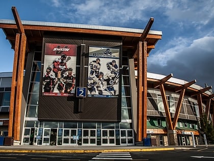
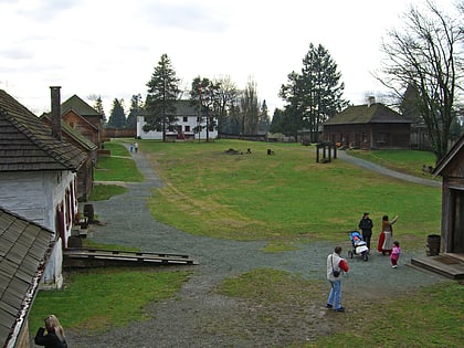
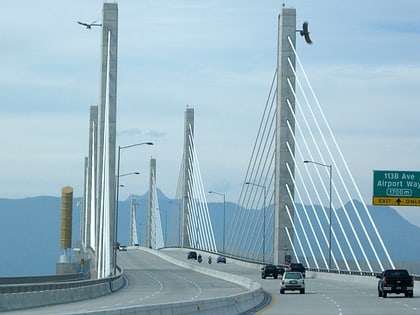
Nearby attractions include: Langley Events Centre, Fort Langley National Historic Site, Golden Ears Bridge, Vancouver British Columbia Temple.

