Royal Canadian Curling Club, Toronto
Map
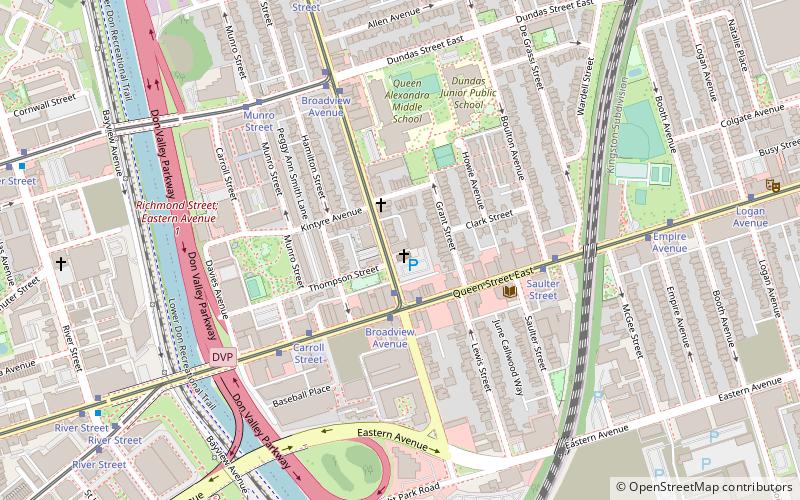
Map

Facts and practical information
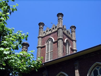
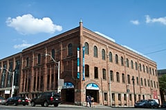
The Royal Canadian Curling Club is a curling club located in the Riverdale neighbourhood of Toronto, Ontario, Canada. The clubhouse on Broadview Avenue was originally built in 1907 by the Royal Canadian Bicycle Club, while the ice arena was added in 1929. In addition to cycling activities, the club had featured skating, baseball, ice hockey, curling, and ten-pin bowling, until 1953, when the club decided to focus exclusively on curling activities. ()
Coordinates: 43°39'35"N, 79°20'60"W
Day trips
Royal Canadian Curling Club – popular in the area (distance from the attraction)
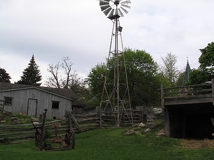
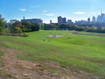
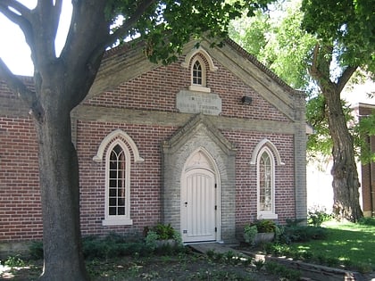
Nearby attractions include: Riverdale Farm, De Grassi Street, Riverdale Park East, St. Paul's Basilica.
Frequently Asked Questions (FAQ)
Which popular attractions are close to Royal Canadian Curling Club?
Nearby attractions include Queen Street Viaduct, Toronto (7 min walk), De Grassi Street, Toronto (7 min walk), Old Eastern Avenue Bridge, Toronto (8 min walk), West Don Lands, Toronto (10 min walk).
How to get to Royal Canadian Curling Club by public transport?
The nearest stations to Royal Canadian Curling Club:
Tram
Bus
Metro
Tram
- Queen Street East • Lines: 504B (2 min walk)
- Broadview Avenue • Lines: 501, 501;301, 504B (2 min walk)
Bus
- Queen Street East • Lines: 121 (10 min walk)
- King Street East • Lines: 121 (10 min walk)
Metro
- Broadview • Lines: 2 (32 min walk)
- Castle Frank • Lines: 2 (35 min walk)

 Subway
 Streetcar system
 PATH
PATH