The Queen's Own Rifles of Canada, Toronto
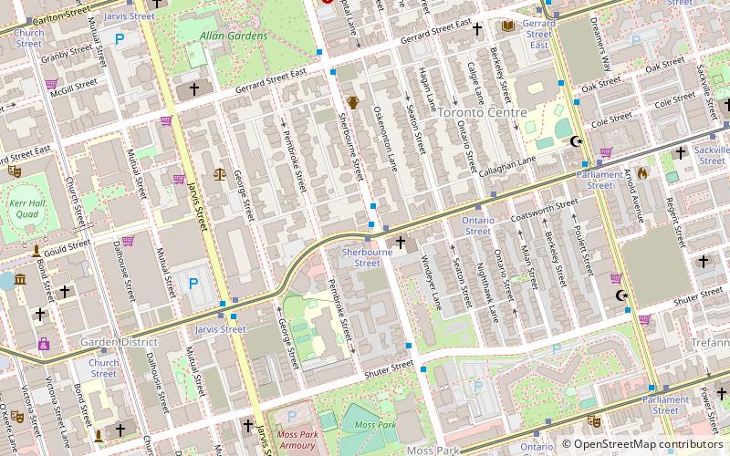
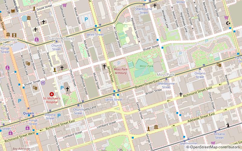
Map
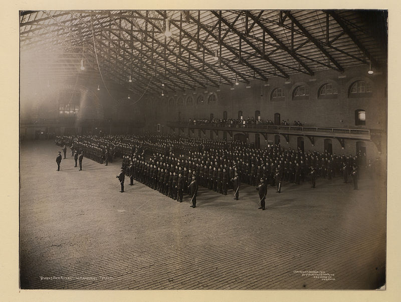
Gallery
Facts and practical information
The Queen's Own Rifles of Canada is a Primary Reserve regiment of the Canadian Armed Forces, based in Toronto. The regiment is part of 4th Canadian Division's 32 Canadian Brigade Group. It is the only reserve regiment in Canada to currently have a parachute role. The regiment consists of the reserve battalion, the Regimental Association, and the Regimental Band and Bugles. The official abbreviation is The QOR of C, but the name is often abbreviated to QOR. ()
Coordinates: 43°39'17"N, 79°22'22"W
Address
Downtown Toronto (Moss Park)Toronto
ContactAdd
Social media
Add
Day trips
The Queen's Own Rifles of Canada – popular in the area (distance from the attraction)
Nearby attractions include: St. Lawrence Market, Yonge-Dundas Square, St. Michael's Cathedral Basilica, Cathedral Church of St. James.
Frequently Asked Questions (FAQ)
Which popular attractions are close to The Queen's Own Rifles of Canada?
Nearby attractions include 48th Highlanders of Canada, Toronto (1 min walk), Metropolitan United Church, Toronto (5 min walk), St. Michael's Cathedral Basilica, Toronto (6 min walk), Bank of Upper Canada Building, Toronto (6 min walk).
How to get to The Queen's Own Rifles of Canada by public transport?
The nearest stations to The Queen's Own Rifles of Canada:
Tram
Bus
Metro
Train
Ferry
Tram
- Jarvis Street • Lines: 501, 501;301 (2 min walk)
- Sherbourne Street • Lines: 501, 501;301 (5 min walk)
Bus
- Queen Street East • Lines: 75 (5 min walk)
- Shuter Street • Lines: 75 (5 min walk)
Metro
- Queen • Lines: 1 (9 min walk)
- Dundas • Lines: 1 (11 min walk)
Train
- Toronto Union Station (21 min walk)
Ferry
- Jack Layton Ferry Terminal • Lines: Toronto Island Ferry, Ward's Island (26 min walk)

 Subway
 Streetcar system
 PATH
PATH


