Ontario Street, Montreal
Map
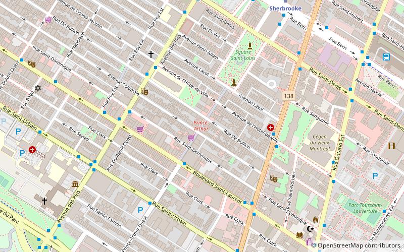
Map

Facts and practical information
Ontario Street is an east-west artery in Montreal, Quebec, Canada. It crosses the boroughs of Ville-Marie and Mercier–Hochelaga-Maisonneuve. In the later the street becomes mixed residential and commercial and is known as Promenade Ontario. ()
Length: 3.79 miCoordinates: 45°30'54"N, 73°34'18"W
Address
Plateau-Mont-RoyalMontreal
ContactAdd
Social media
Add
Day trips
Ontario Street – popular in the area (distance from the attraction)
Nearby attractions include: St-Laurent, Sherbrooke Street, MAI, Les Fusiliers Mont-Royal.
Frequently Asked Questions (FAQ)
Which popular attractions are close to Ontario Street?
Nearby attractions include Carré Saint-Louis, Montreal (3 min walk), Théâtre de Quat'Sous, Montreal (4 min walk), Les Fusiliers Mont-Royal, Montreal (6 min walk), Notman House, Montreal (6 min walk).
How to get to Ontario Street by public transport?
The nearest stations to Ontario Street:
Bus
Metro
Train
Bus
- Saint-Laurent / Prince-Arthur • Lines: 55-N (3 min walk)
- des Pins / Saint-Dominique • Lines: 144-E (4 min walk)
Metro
- Sherbrooke • Lines: 2 (8 min walk)
- Saint-Laurent • Lines: 1 (12 min walk)
Train
- Montreal Central Station (27 min walk)

 Metro
Metro


