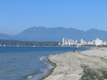
English Bay, Vancouver
Map

Map

Facts and practical information
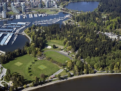
English Bay is an open bay northwest of the Burrard Peninsula in British Columbia, Canada, extending from the headland between Siwash Rock and Prospect Point on Vancouver's Downtown peninsula in the northeast, to the northwestern tip of Point Grey in the southwest. The bay encompasses the coasts of Stanley Park, the West End, Kitsilano, West Point Grey and the University Endowment Lands, and makes up the southeastern portion of the Outer Burrard Inlet. There is a narrow inlet named False Creek at its eastern end. ()
Address
Vancouver
ContactAdd
Social media
Add
Day trips
English Bay – popular in the area (distance from the attraction)
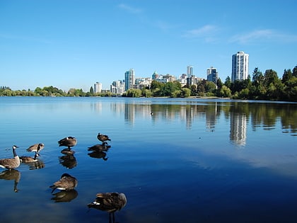
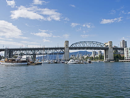
Nearby attractions include: Stanley Park, Lost Lagoon, Vancouver Maritime Museum, Burrard Street Bridge.
Frequently Asked Questions (FAQ)
Which popular attractions are close to English Bay?
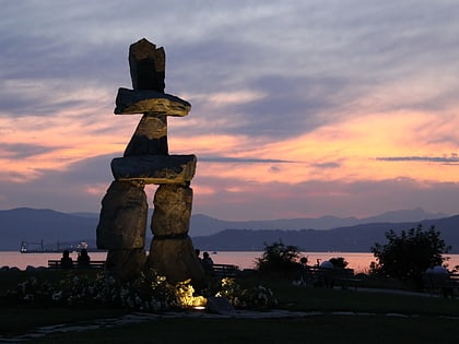
Nearby attractions include Inukshuk, Vancouver (21 min walk), Vancouver Maritime Museum, Vancouver (24 min walk), St. Roch Ship, Vancouver (24 min walk).
How to get to English Bay by public transport?
The nearest stations to English Bay:
Bus
Ferry
Trolleybus
Bus
- Beach Ave at Bidwell St • Lines: 23 (22 min walk)
- Davie St at Denman St • Lines: 23 (24 min walk)
Ferry
- Maritime Museum Dock • Lines: False Creek Ferries Route 2 (23 min walk)
- Aquatic Centre Dock • Lines: False Creek Ferries Route 1, False Creek Ferries Route 2 (34 min walk)
Trolleybus
- Davie St at Denman St • Lines: 5, 6 (24 min walk)
- Denman St at Pendrell St • Lines: 5 (24 min walk)

 SkyTrain