De Courcy Island
Map

Map

Facts and practical information
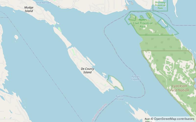
De Courcy Island is one of the Gulf Islands located between Pylades and Stuart Channels approximately 16 km south-east of Nanaimo, British Columbia and approximately 38 km south-west of Vancouver, British Columbia. The island was named after Michael de Courcy, captain of HMS Pylades and is about 460 acres in area. ()
Location
British Columbia
ContactAdd
Social media
Add
Day trips
De Courcy Island – popular in the area (distance from the attraction)
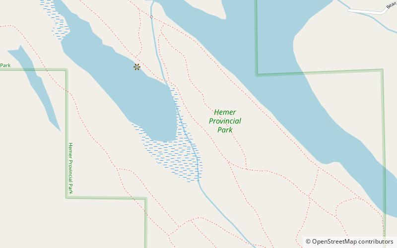
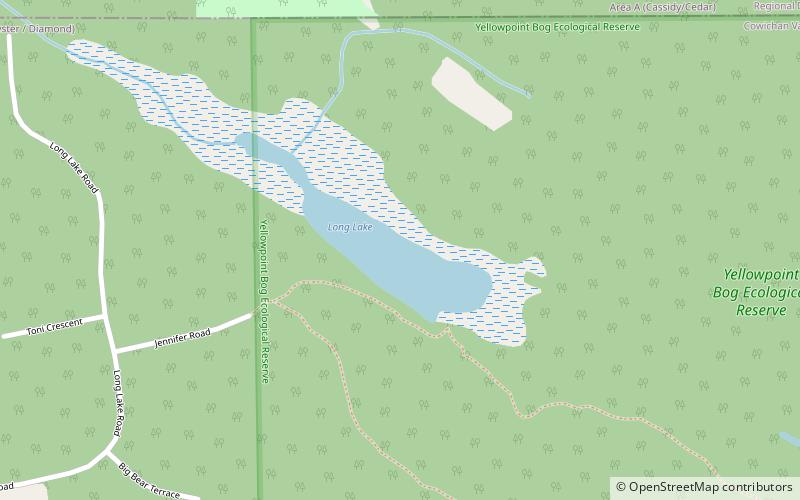
Nearby attractions include: Drumbeg Provincial Park, Hemer Provincial Park, Long Lake, Wakes Cove Provincial Park.


