Mudge Island, Nanaimo

Gallery (1)
Map
Map
Facts and practical information
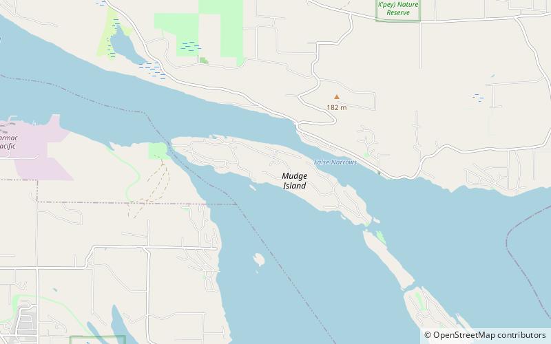
Mudge Island is one of the Southern Gulf Islands in the Salish Sea, in British Columbia, Canada. It lies between Gabriola Island and Vancouver Island, and is considered part of the De Courcy group of islands. It is about 0.8 km wide and 4 km long. Dodd Narrows separates Mudge Island from Vancouver Island and False Narrows separates it from Gabriola Island. The northern tip of the island is the southern limit of the Port of Nanaimo and the southern most point of Northumberland Channel. Stuart Channel is south of Mudge Island. ()
Address
Nanaimo
ContactAdd
Social media
Add
Day trips