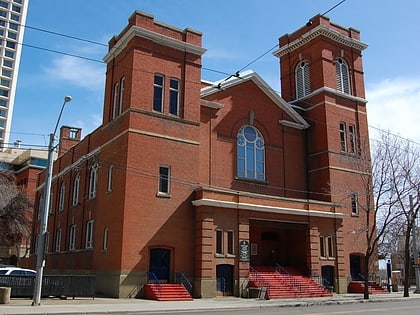
All Saints' Anglican Cathedral, Edmonton
Map
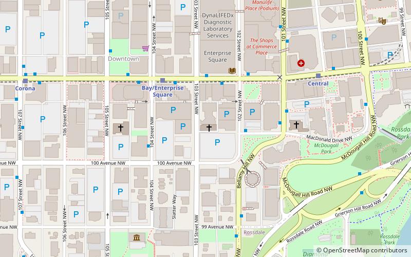
Map

Facts and practical information
All Saints' Anglican Cathedral is a Canadian cathedral serving the Anglican Diocese of Edmonton, which covers central Alberta. It serves as the episcopal seat of the Bishop of Edmonton. ()
Coordinates: 53°32'23"N, 113°29'49"W
Address
10035 103 St NWNorth Central Edmonton (Downtown Edmonton)Edmonton T5J 0X5
Contact
+1 780-428-6323
Social media
Add
Day trips
All Saints' Anglican Cathedral – popular in the area (distance from the attraction)
Nearby attractions include: Manulife Place, Rogers Place, Commerce Place, Edmonton City Centre.
Frequently Asked Questions (FAQ)
Which popular attractions are close to All Saints' Anglican Cathedral?
Nearby attractions include Old Citadel, Edmonton (2 min walk), First Presbyterian Church, Edmonton (5 min walk), McDougall United Church, Edmonton (5 min walk), Icon Towers, Edmonton (5 min walk).
How to get to All Saints' Anglican Cathedral by public transport?
The nearest stations to All Saints' Anglican Cathedral:
Bus
Light rail
Bus
- 102 Street & MacDonald Drive • Lines: 1 (2 min walk)
- 103 Street & Jasper Ave • Lines: 2, 5, 560, 900X (3 min walk)
Light rail
- Bay/Enterprise Square • Lines: 501, 502 (3 min walk)
- Central • Lines: 501, 502 (6 min walk)


