Linear park of the Saint-Charles and Berger rivers

Gallery (2)
Map
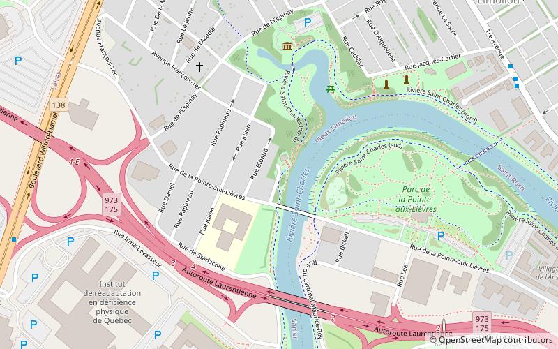
Map
Gallery
Facts and practical information
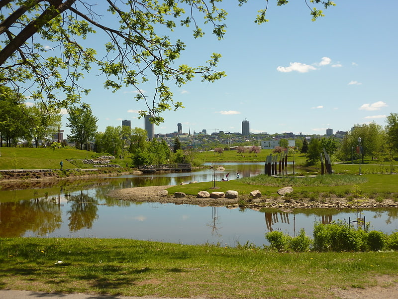
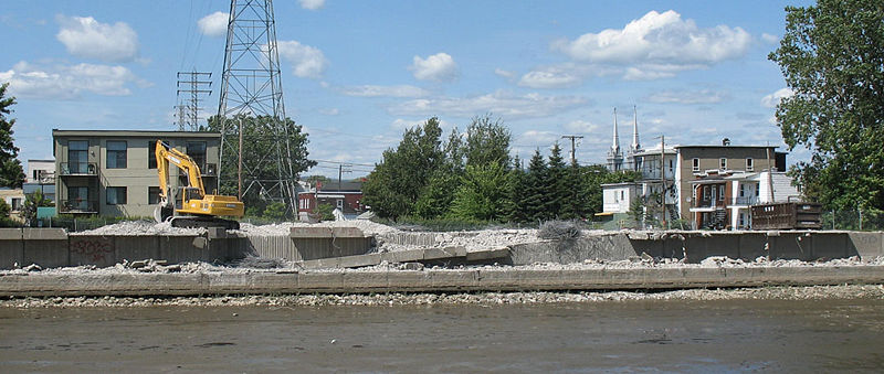
The linear park of the Saint-Charles and Berger rivers is a linear park public of the Quebec city. It runs along the rivers Saint-Charles and du Berger between Saint-Charles Lake and port of Québec. It has a 32 km footpath and a 8 km cycle path on Rivière-Saint-Charles Corridor. ()
Location
Québec
ContactAdd
Social media
Add
Day trips
Linear park of the Saint-Charles and Berger rivers – popular in the area (distance from the attraction)
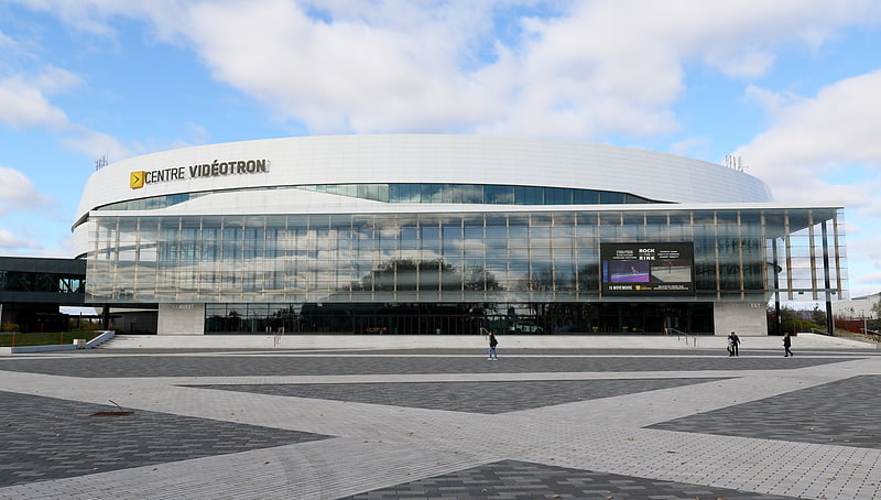
Nearby attractions include: Cartier-Brébeuf National Historic Site, Saint-Jean-Baptiste Church, Centre Vidéotron, Fleur de Lys centre commercial.