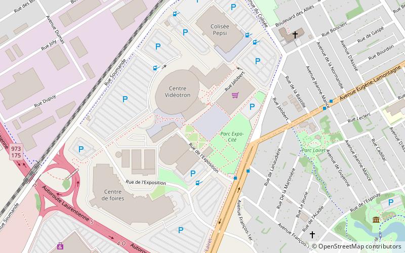
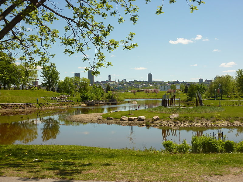
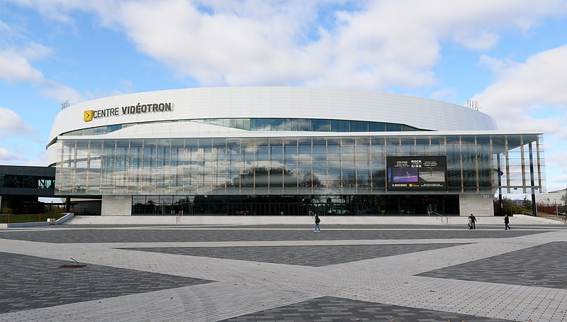
ExpoCité, Quebec City

Gallery (1)
Map
Map
Facts and practical information
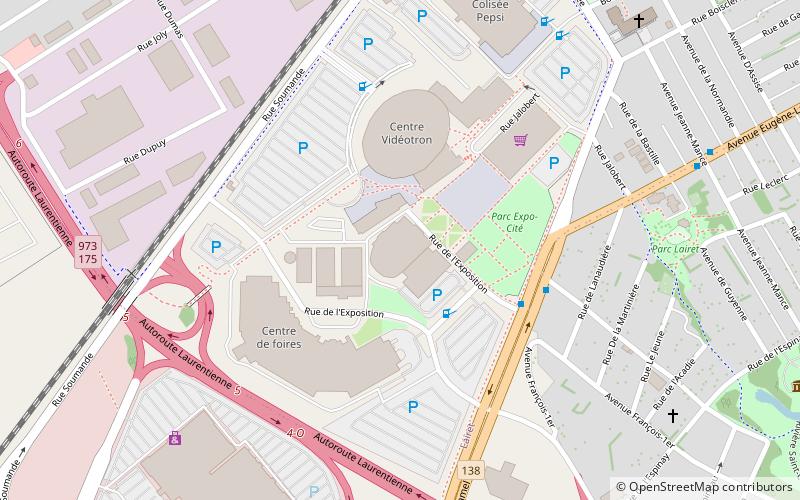
ExpoCité is a multi-site entertainment complex located in the borough of La Cité-Limoilou, in downtown Quebec City. This is also the name of the corporation authorized by the City of Quebec to administer the site. ExpoCité was best known for Expo Québec an annual 12-day exhibition held in August but folded in 2016. The Salon de l'Auto de Québec is held there each March. ()
Address
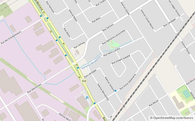
Limoilou (Lairet)Quebec City
ContactAdd
Social media
Add
Getting there by public transportation
Public transportation stops near this location
- Bus
 Bus
Bus
- Calculate routeCentre de foires 4 min walk
- Calculate routeJeanne-Mance 7 min walk
- Calculate route18e Rue 12 min walk
- Calculate route1re Avenue 12 min walk
Day trips


Frequently Asked Questions (FAQ)
Which popular attractions are close to ExpoCité?
Nearby attractions include Centre Vidéotron, Quebec City (3 min walk), Cartier-Brébeuf National Historic Site, Quebec City (10 min walk), La Cité-Limoilou, Quebec City (16 min walk).
How to get to ExpoCité by public transport?
The nearest stations to ExpoCité:
Bus
Bus
- Centre de foires • Lines: 802 (4 min walk)
- Jeanne-Mance • Lines: 802 (7 min walk)