Wendake

Gallery (3)
Map
Map
Gallery
Facts and practical information
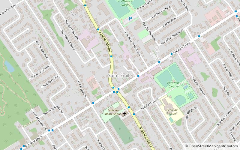
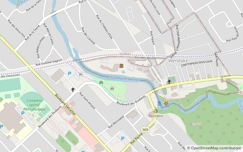
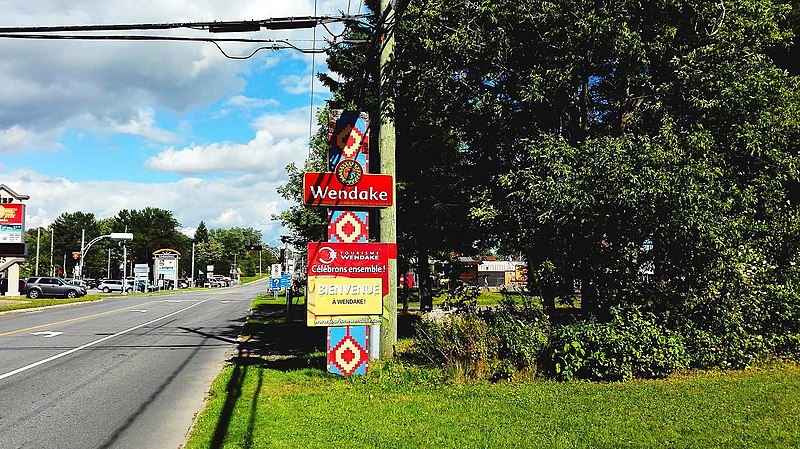
Wendake is the current name for two urban reserves, Wendake 7 and Wendake 7A, of the Huron-Wendat Nation in the Canadian province of Quebec. They are enclaves entirely surrounded by the La Haute-Saint-Charles borough of Quebec City, within the former city of Loretteville. One of the Seven Nations of Canada, the settlement was formerly known as Village-des-Hurons, and also as -Lorette. ()
Location
Québec
ContactAdd
Social media
Add
Day trips