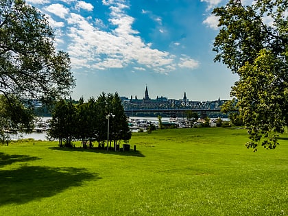
Boulevard Saint-Joseph, Gatineau
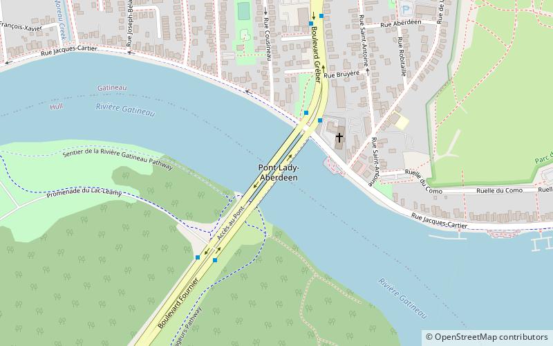
Map
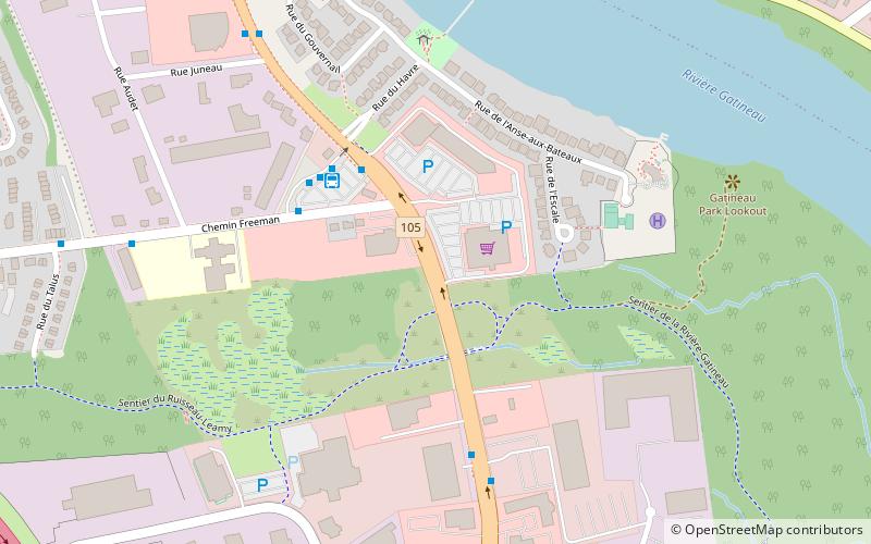
Map

Facts and practical information
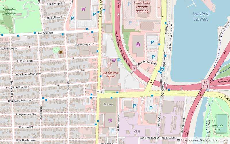
Boulevard Saint-Joseph is a commercial boulevard in the former city of Hull, Quebec. It runs from Boulevard Alexandre-Tache to the boundaries of the city of Gatineau and the suburban town of Chelsea. ()
Coordinates: 45°28'20"N, 75°44'20"W
Address
Quartier de l'Oree-du-ParcGatineau
ContactAdd
Social media
Add
Day trips
Boulevard Saint-Joseph – popular in the area (distance from the attraction)
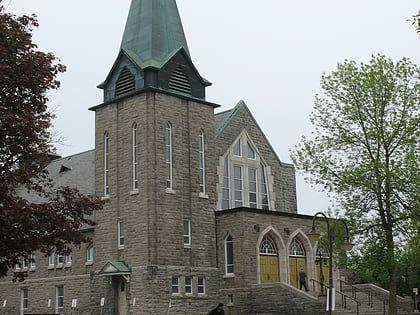
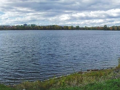
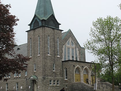
Nearby attractions include: Les Promenades Gatineau, Leamy Lake, Galeries de Hull, St. Joseph Cathedral.
Frequently Asked Questions (FAQ)
How to get to Boulevard Saint-Joseph by public transport?
The nearest stations to Boulevard Saint-Joseph:
Bus
Bus
- Freeman (4 min walk)
- Saint-Louis/Av. Gatineau • Lines: 15 (10 min walk)
