Cinnamon Peak, Mount Robson Provincial Park
Facts and practical information
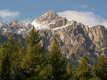
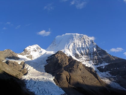
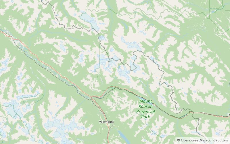
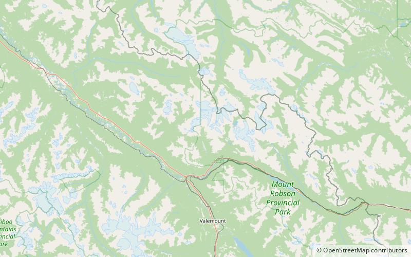
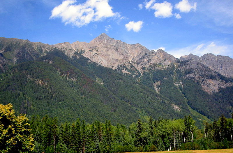
Cinnamon Peak is a 2,727-metre mountain summit located in the northwestern part of Mount Robson Provincial Park, in the Canadian Rockies of British Columbia, Canada. It is situated immediately north of the confluence of the Robson River and the Fraser River, and is visible from the Yellowhead Highway near the park's visitor centre. The peak was labelled "Little Grizzly" on Arthur Oliver Wheeler's 1911 topographic map of Mount Robson. He thought it appeared similar to Mount Grizzly in the Selkirk Mountains, but the name was later changed to Cinnamon, which is the coloration of the peak and the Cinnamon bear, which can be easily mistaken for a grizzly bear. "Little Grizzly" is a colloquial term for the black bear, Ursus americanus. Eastern populations are typically black in color, however western populations can be cinnamon colored. The mountain's name was officially adopted in 1951 by the Geographical Names Board of Canada. Its nearest higher peak is Whitehorn Mountain, 6.0 km to the north. ()
Mount Robson Provincial Park
Cinnamon Peak – popular in the area (distance from the attraction)
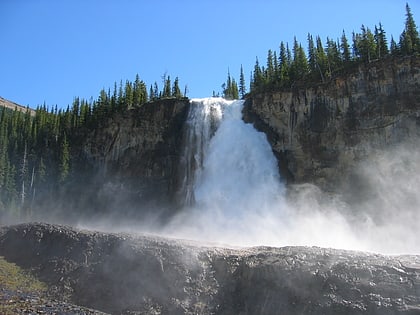
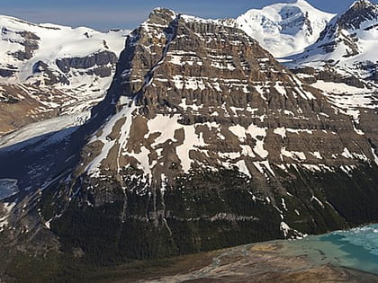
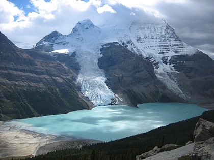
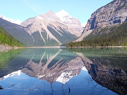
Nearby attractions include: Kinney Lake, Emperor Falls, Rearguard Mountain, Berg Lake.
