Winnipeg Centre, Winnipeg
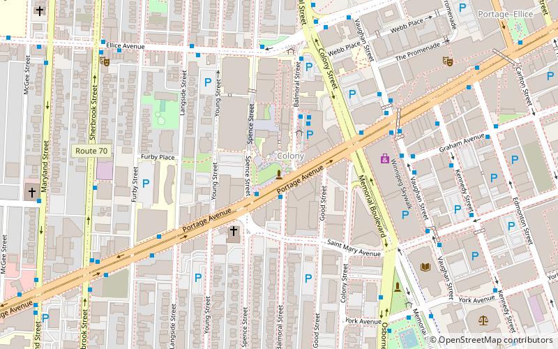
Map
Facts and practical information
Winnipeg Centre is a federal electoral district in Manitoba, Canada, that has been represented in the House of Commons of Canada from 1917 to 1925 and since 1997. ()
Coordinates: 49°53'42"N, 97°10'1"W
Address
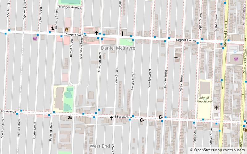
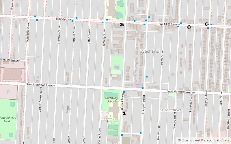
Central Winnipeg (Daniel Mcintyre)Winnipeg
ContactAdd
Social media
Add
Getting there by public transportation
Public transportation stops near this location
- Bus
 Bus
Bus
- Calculate routeEastbound Sargent at Simcoe 4 min walk
- Calculate routeWestbound Ellice at Simcoe 4 min walk
- Calculate routeNorthbound Arlington at Ellice 4 min walk
Day trips


Frequently Asked Questions (FAQ)
Which popular attractions are close to Winnipeg Centre?
Nearby attractions include Winnipeg Route 57, Winnipeg (15 min walk), The Queen's Own Cameron Highlanders of Canada Museum, Winnipeg (16 min walk), Gallery 1C03, Winnipeg (17 min walk), University of Winnipeg, Winnipeg (18 min walk).
How to get to Winnipeg Centre by public transport?
The nearest stations to Winnipeg Centre:
Bus
Bus
- Eastbound Sargent at Simcoe • Lines: 15 (4 min walk)
- Westbound Ellice at Simcoe • Lines: 14 (4 min walk)