Fran's Restaurant, Toronto
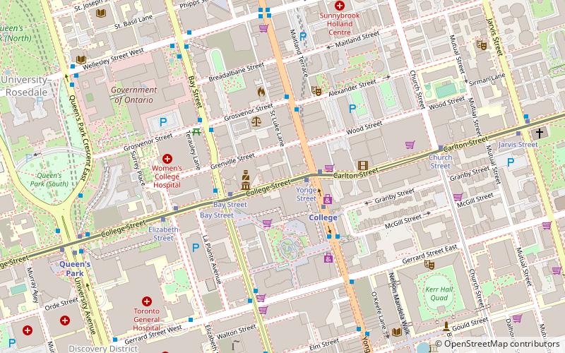
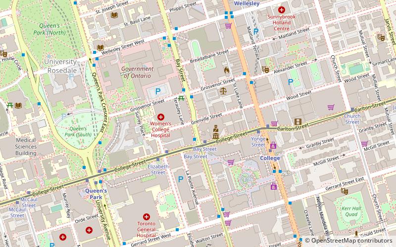
Map
Facts and practical information
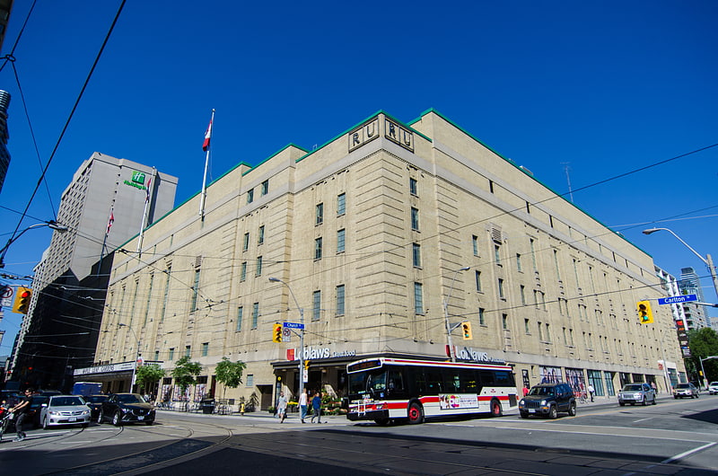
Fran's Restaurant is a small chain of restaurants based in Toronto, Ontario, Canada. Its first restaurant was a haunt of pianist Glenn Gould. ()
Coordinates: 43°39'41"N, 79°23'3"W
Address
20 College StreetDowntown Toronto (Bay Street Corridor)Toronto
Contact
+1 416-923-9867
Social media
Add
Getting there by public transportation
Public transportation stops near this location
- Metro
- Bus
- Tram
- Train
 Metro
Metro
- Calculate routeYonge Street 2 min walk
- Calculate routeBay Street 3 min walk
- Calculate routeElizabeth Street 5 min walk
- Calculate routeCollege 2 min walk
- Calculate routeWellesley 8 min walk
- Calculate routeQueen's Park 9 min walk
- Calculate routeDundas 10 min walk
- Calculate routeCollege Street 3 min walk
- Calculate routeGrosvenor Street 4 min walk
- Calculate routeGerrard Street West 5 min walk
- Calculate routeToronto Union Station 30 min walk
Maps SubwayMaps
 Streetcar systemMaps
 PATH
PATH
SubwayMapsStreetcar systemMapsPATHDay trips


Frequently Asked Questions (FAQ)
Which popular attractions are close to Fran's Restaurant?
Nearby attractions include The Carlu, Toronto (2 min walk), Toronto Police Headquarters, Toronto (2 min walk), Little Glenn, Toronto (3 min walk), Residences of College Park, Toronto (3 min walk).
How to get to Fran's Restaurant by public transport?
The nearest stations to Fran's Restaurant:
Tram
Metro
Bus
Train
Tram
- Yonge Street • Lines: 306, 506 (2 min walk)
- Bay Street • Lines: 306, 506 (3 min walk)
Metro
- College • Lines: 1 (2 min walk)
- Wellesley • Lines: 1 (8 min walk)
Bus
- College Street • Lines: 19 (3 min walk)
- Grosvenor Street • Lines: 19 (4 min walk)
Train
- Toronto Union Station (30 min walk)