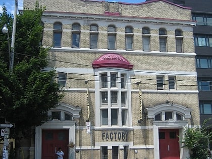
Poor Alex Theatre, Toronto
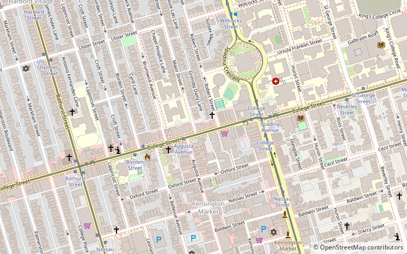
Map
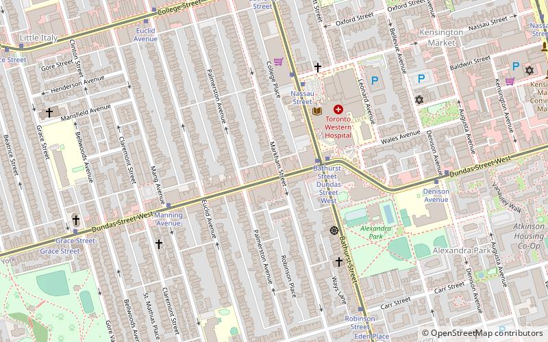
Map

Facts and practical information
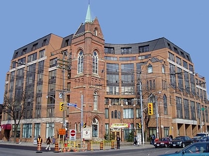
Poor Alex Theatre was a theatre company based in Toronto, Ontario, Canada. ()
Coordinates: 43°39'8"N, 79°24'27"W
Address
West End (Little Italy)Toronto
ContactAdd
Social media
Add
Day trips
Poor Alex Theatre – popular in the area (distance from the attraction)
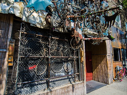
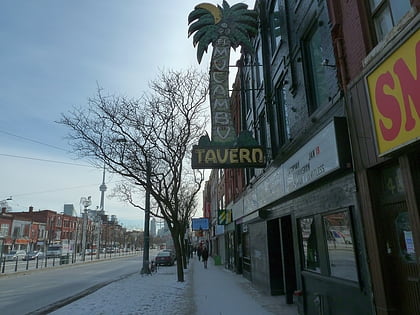
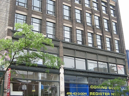
Nearby attractions include: Bovine Sex Club, El Mocambo, Burroughes Building, Little Italy.
Frequently Asked Questions (FAQ)
Which popular attractions are close to Poor Alex Theatre?
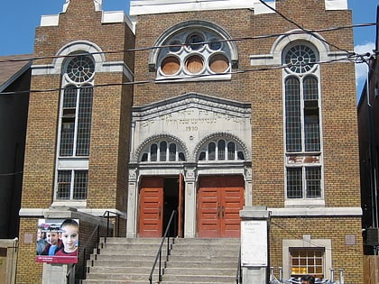
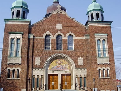
Nearby attractions include St. Volodymyr's Ukrainian Orthodox Cathedral, Toronto (4 min walk), Kiever Synagogue, Toronto (7 min walk), Palmerston Boulevard, Toronto (8 min walk), College Street Baptist Church, Toronto (8 min walk).
How to get to Poor Alex Theatre by public transport?
The nearest stations to Poor Alex Theatre:
Tram
Bus
Metro
Train
Tram
- Bathurst Street • Lines: 505 (2 min walk)
- Dundas Street West • Lines: 511 (2 min walk)
Bus
- Bathurst Street • Lines: 94A (17 min walk)
- Manning Avenue • Lines: 94A (18 min walk)
Metro
- Bathurst • Lines: 2 (25 min walk)
- St. Patrick • Lines: 1 (25 min walk)
Train
- Exhibition (32 min walk)

 Subway
 Streetcar system
 PATH
PATH