Banff Trail, Calgary
Map
Facts and practical information
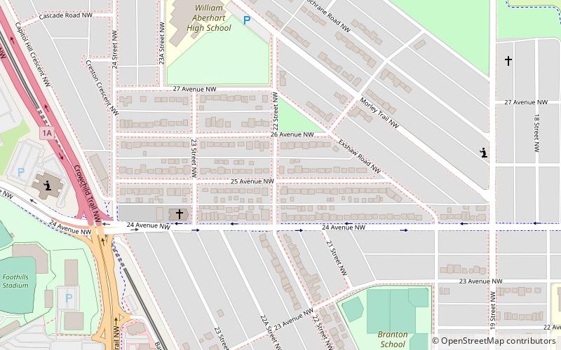
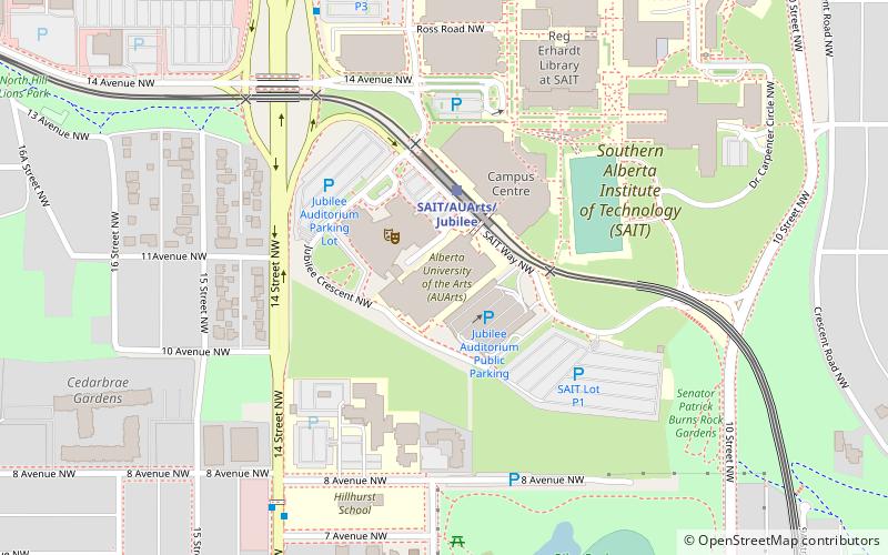
Banff Trail is a residential neighbourhood in the northwest quadrant of Calgary, Alberta. It is located northeast of the intersection of Crowchild Trail and Trans-Canada Highway, east of McMahon Stadium and the University of Calgary. The Banff Trail station of the C-train LRT system serves the community, which contains a large motel village in the southwest corner. ()
Area: 0.89 mi²Coordinates: 51°4'31"N, 114°6'46"W
Getting there by public transportation
Public transportation stops near this location
- Bus
- Light rail
 Bus
Bus
- Calculate routeBanff Trail 9 min walk
- Calculate routeUniversity 14 min walk
- Calculate routeLions Park 21 min walk
- Calculate routeBrentwood 31 min walk
- Calculate routeWB 16th Av NW @ 19th St NW 16 min walk
- Calculate routeNorth Hill Station 18 min walk
- Calculate routeUniversity 18 min walk
- Calculate routeLion's Park 22 min walk
Day trips


Frequently Asked Questions (FAQ)
Which popular attractions are close to Banff Trail?
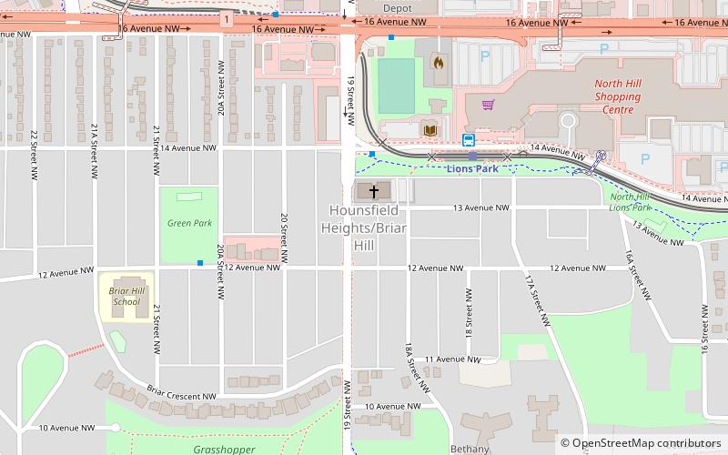
Nearby attractions include McMahon Stadium, Calgary (13 min walk), Charleswood, Calgary (16 min walk), Hounsfield Heights/Briar Hill, Calgary (22 min walk).
How to get to Banff Trail by public transport?
The nearest stations to Banff Trail:
Light rail
Bus
Light rail
- Banff Trail • Lines: 201 (9 min walk)
- University • Lines: 201 (14 min walk)
Bus
- WB 16th Av NW @ 19th St NW • Lines: 303 (16 min walk)
- North Hill Station • Lines: 303 (18 min walk)