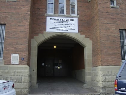
West Hillhurst, Calgary
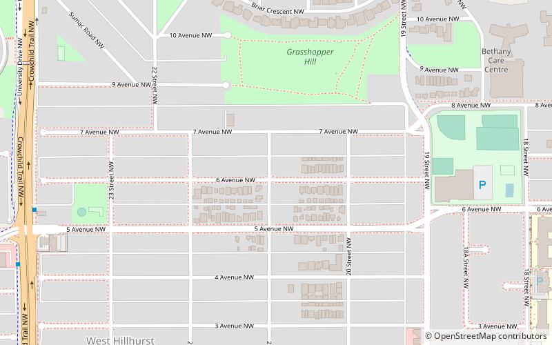
Map
Facts and practical information
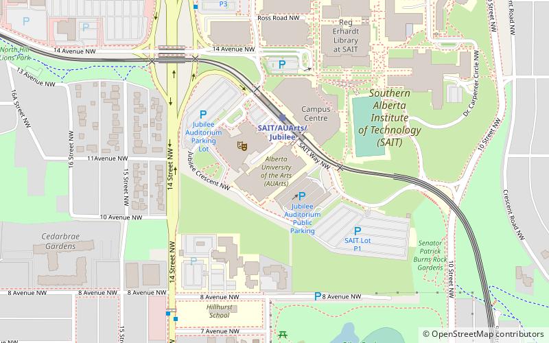
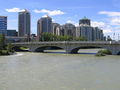
West Hillhurst is a northwest neighbourhood lying within the inner suburbs of Calgary, Alberta, Canada. The community, which is located west of Hillhurst, is bisected by Crowchild Trail. On the north, West Hillhurst is bordered by the communities of Hounsfield Heights/Briar Hill and St. Andrews Heights. Other boundaries are 18th Street W to the east, the Bow River to the south and 28th Street W to the west. ()
Area: 0.93 mi²Coordinates: 51°3'30"N, 114°6'37"W
Day trips
West Hillhurst – popular in the area (distance from the attraction)
Nearby attractions include: McMahon Stadium, North Hill Centre, Centennial Planetarium, Riley Park.
Frequently Asked Questions (FAQ)
Which popular attractions are close to West Hillhurst?
Nearby attractions include Hounsfield Heights/Briar Hill, Calgary (12 min walk), Hillhurst, Calgary (13 min walk), Southern Alberta Jubilee Auditorium, Calgary (21 min walk), St. Andrews Heights, Calgary (22 min walk).
How to get to West Hillhurst by public transport?
The nearest stations to West Hillhurst:
Light rail
Bus
Light rail
- Lions Park • Lines: 201 (15 min walk)
- Banff Trail • Lines: 201 (23 min walk)
Bus
- Lion's Park • Lines: 89 (16 min walk)
- WB 16th Av NW @ 19th St NW • Lines: 303 (16 min walk)


