Port Weller, St. Catharines

Map
Facts and practical information
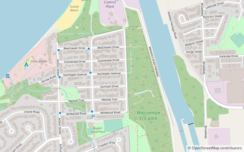
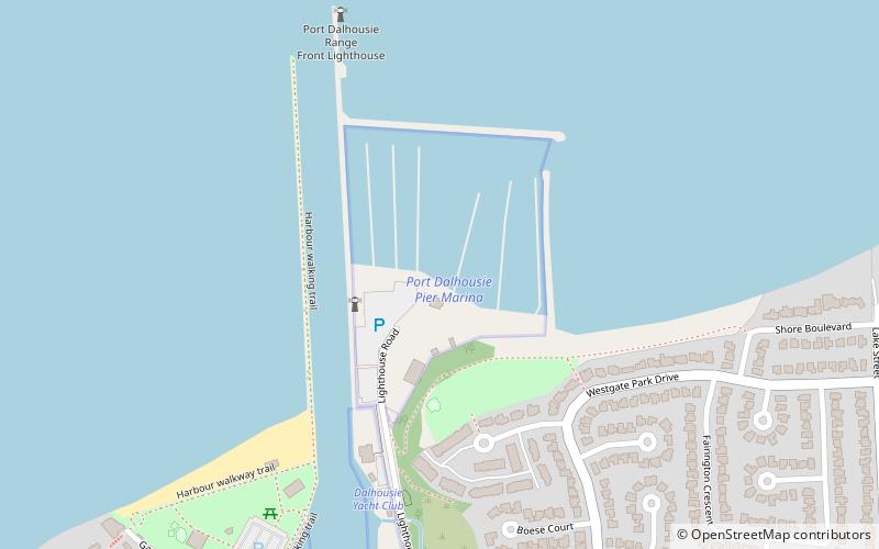
Port Weller, Ontario is a community in St. Catharines, Regional Municipality of Niagara, Ontario, Canada and is part of the Golden Horseshoe region. It is located 8 kilometres north of the centre of St. Catharines at the north end of the Welland Canal at Lake Ontario, but part of that city in much the same way as Port Dalhousie. ()
Coordinates: 43°13'17"N, 79°13'5"W
Address
Port WellerSt. Catharines
ContactAdd
Social media
Add
Day trips
Port Weller – popular in the area (distance from the attraction)
Nearby attractions include: Gatorade Garden City Complex, Fairview Mall, Port Dalhousie, British Methodist Episcopal Church.
Frequently Asked Questions (FAQ)
How to get to Port Weller by public transport?
The nearest stations to Port Weller:
Bus
Bus
- DanNel (16 min walk)


