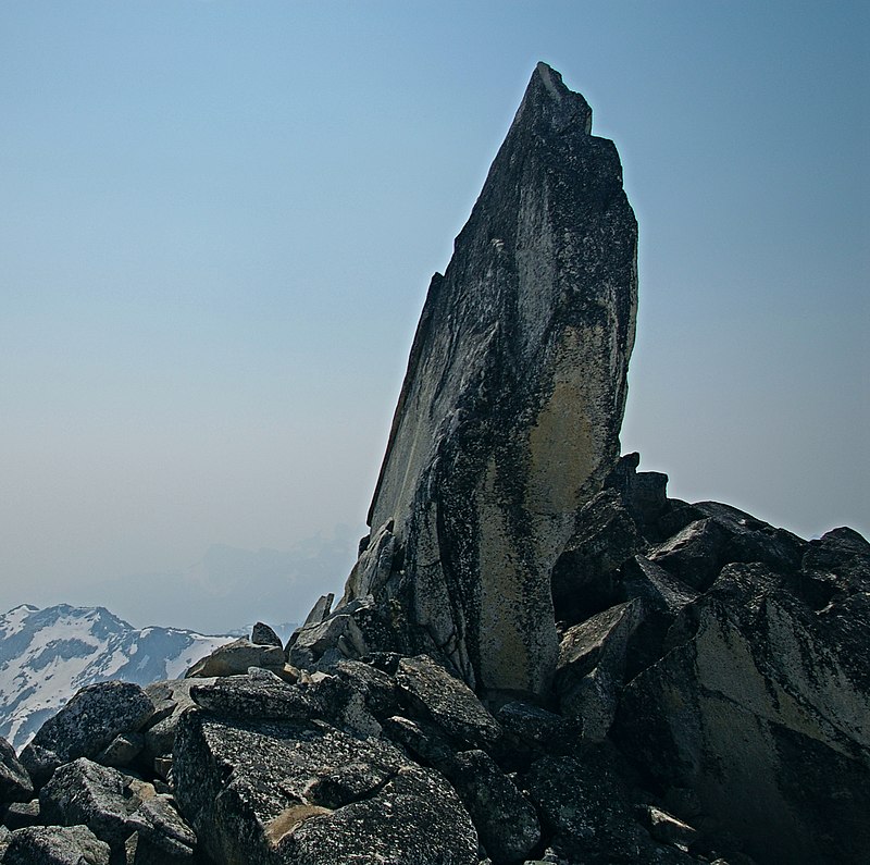
Mount Gandalf, Birkenhead Lake Provincial Park
Map

Gallery

Facts and practical information
Mount Gandalf is a 2,391-metre mountain summit located in the Cadwallader Range in southwestern British Columbia, Canada. It is situated at the northeast corner of Birkenhead Lake Provincial Park, 35 km north of Pemberton, 56 km west of Lillooet, 2.9 km north of Tolkien Peak, and immediately south of Mount Aragorn, which is its nearest higher peak. Precipitation runoff from the peak drains into tributaries of the Fraser River. ()
Coordinates: 50°37'55"N, 122°42'7"W
Address
Birkenhead Lake Provincial Park
ContactAdd
Social media
Add
Day trips
Mount Gandalf – popular in the area (distance from the attraction)
Nearby attractions include: Tolkien Peak.

