Old Longueuil, Longueuil
Map
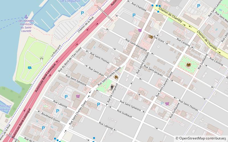
Map

Facts and practical information
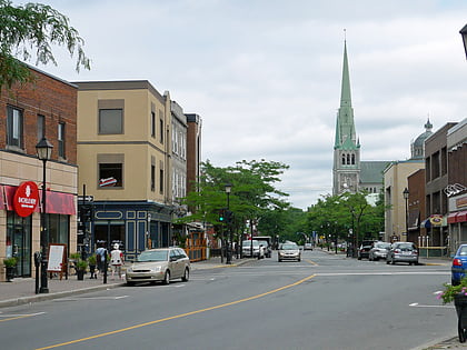
Old Longueuil is a historic neighbourhood located in the borough of the same name, in the city of Longueuil, Quebec, Canada. There is not a universal definition of what exactly constitute the Old Longueuil neighbourhood, but it always includes at least the territory corresponding to the pre-1961 city of Longueuil. ()
Coordinates: 45°32'15"N, 73°30'40"W
Address
Quartier Vieux LongueuilLongueuil
ContactAdd
Social media
Add
Day trips
Old Longueuil – popular in the area (distance from the attraction)
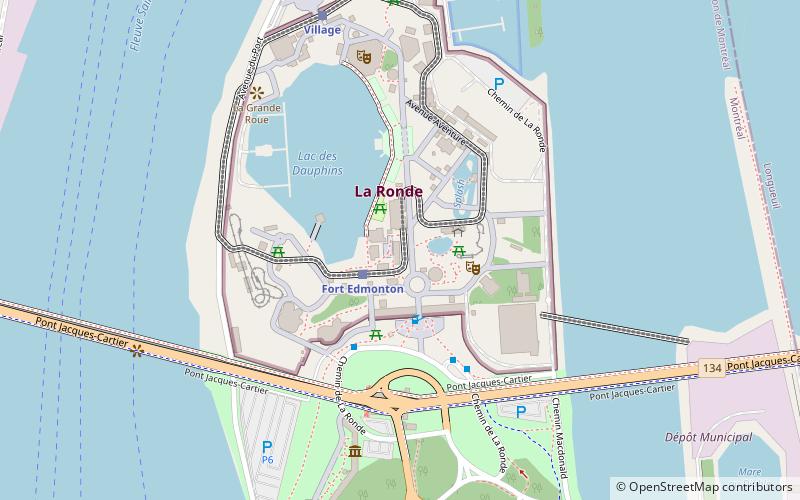
Nearby attractions include: Goliath, Ednör, Aqua Twist, Le Monstre.
Frequently Asked Questions (FAQ)
Which popular attractions are close to Old Longueuil?
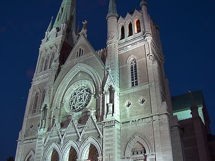
Nearby attractions include Co-Cathedral of Saint-Antoine-de-Padoue, Longueuil (7 min walk), Le Vieux-Longueuil, Longueuil (10 min walk).
How to get to Old Longueuil by public transport?
The nearest stations to Old Longueuil:
Bus
Metro
Bus
- rue St-Charles est / ch. de Chambly • Lines: 340 Tc, 341 Am, 343 Am (7 min walk)
- ch. de Chambly / rue St-Charles • Lines: 300 N, 300 S, 301 N, 325 N, 325 S, 330 N, 330 S (8 min walk)
Metro
- Longueuil–Université-de-Sherbrooke • Lines: 4 (26 min walk)
