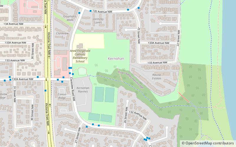
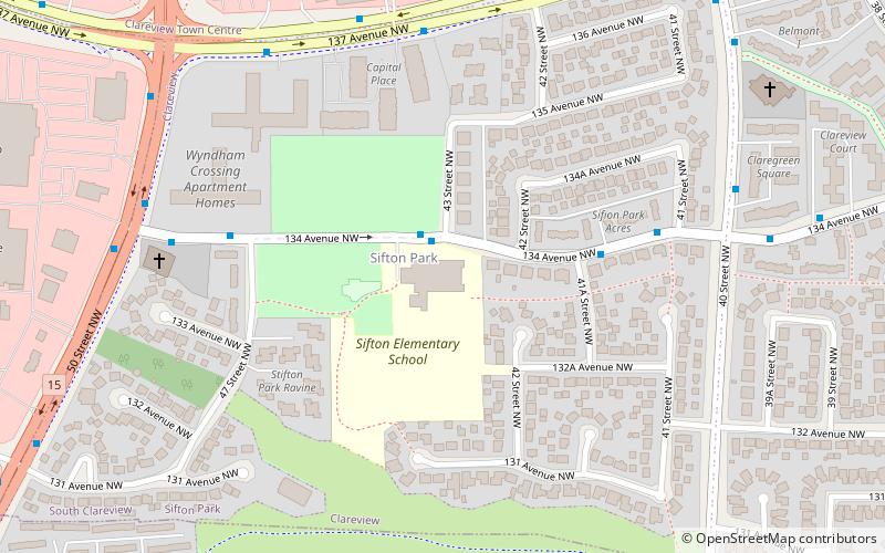
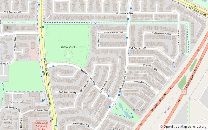
Clareview, Edmonton
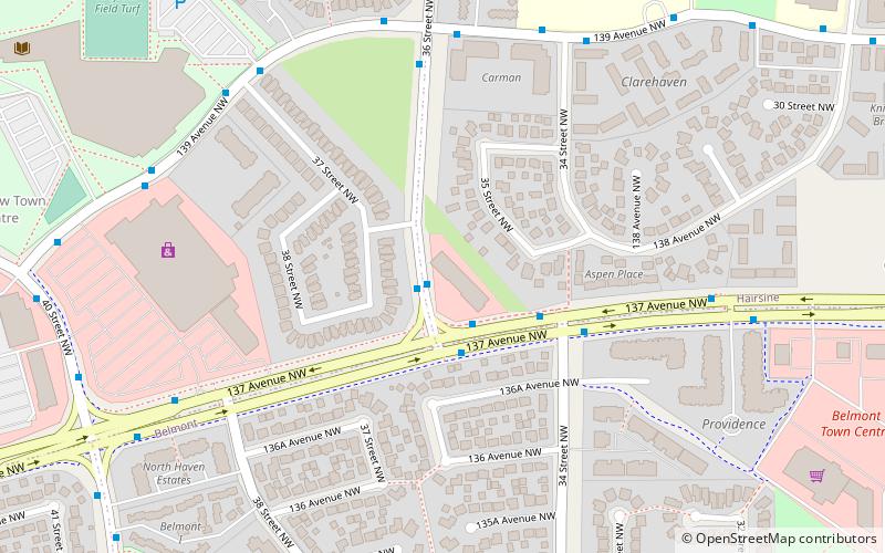
Map
Facts and practical information
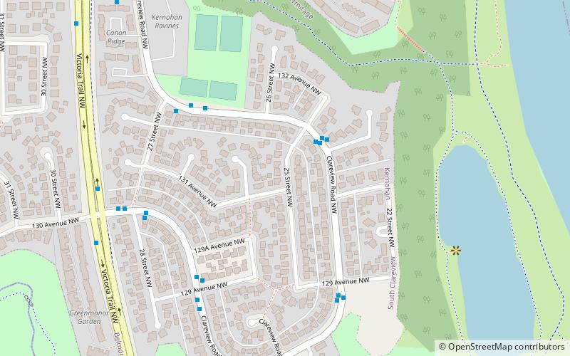
Clareview is a residential area in the northeast portion of the City of Edmonton in Alberta, Canada. It was established in 1972 through Edmonton City Council's adoption of the Clareview Outline Plan, which guides the overall development of the area. Clareview station is the northern terminus of the Edmonton LRT. ()
Coordinates: 53°35'60"N, 113°23'46"W
Address
Northeast Edmonton (Hairsine)Edmonton
ContactAdd
Social media
Add
Day trips
Clareview – popular in the area (distance from the attraction)
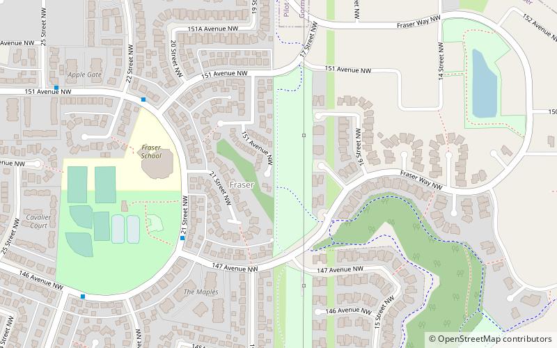
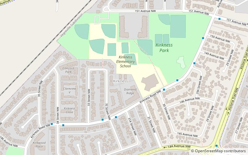
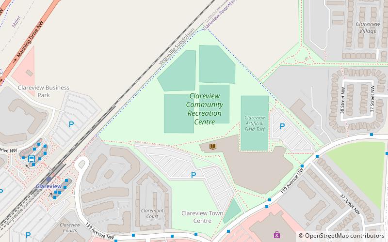
Nearby attractions include: Edmonton-Beverly-Clareview, Fraser, Kirkness, Clareview Town Centre.
Frequently Asked Questions (FAQ)
Which popular attractions are close to Clareview?
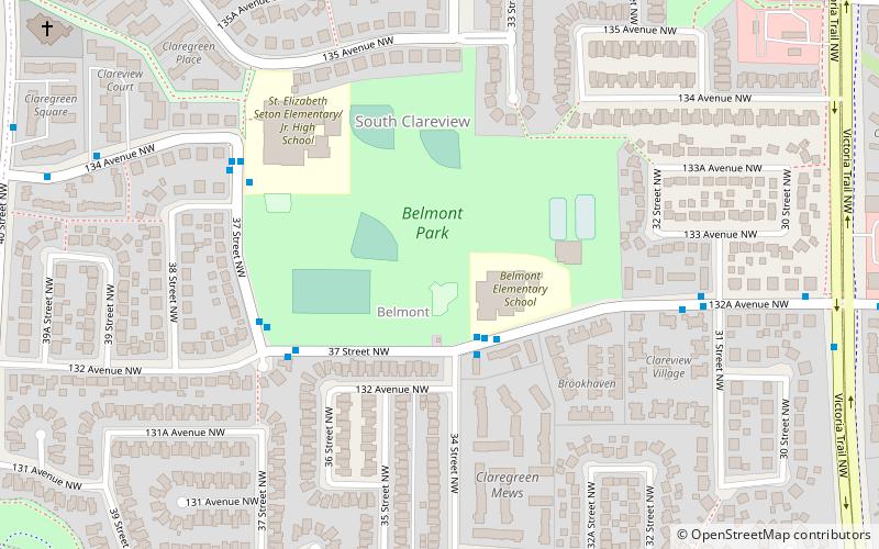
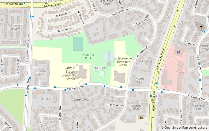
Nearby attractions include Hairsine, Edmonton (10 min walk), Clareview Town Centre, Edmonton (12 min walk), Belmont, Edmonton (12 min walk), Sifton Park, Edmonton (17 min walk).
How to get to Clareview by public transport?
The nearest stations to Clareview:
Light rail
Bus
Light rail
- Clareview • Lines: 501 (17 min walk)
Bus
- Clareview Transit Centre • Lines: 2, 2-Owl (18 min walk)
