Clareview Town Centre, Edmonton
Map
Facts and practical information
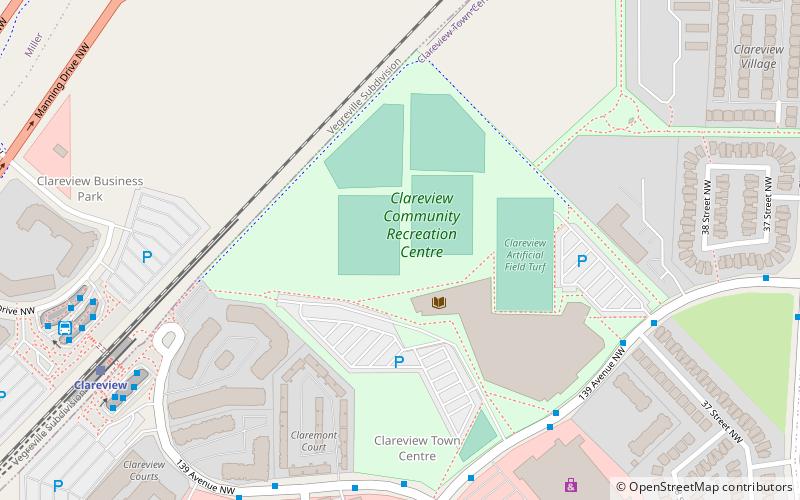
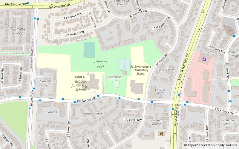
Clareview Town Centre, formerly comprising Clareview Business Park and Clareview Campus, is a mixed-use neighbourhood located in the Clareview area of northeast Edmonton, Alberta, Canada. The neighbourhood is bounded on the south by 137 Avenue, on the west by Manning Drive, on the north by 144 Avenue, and on the east by 36 Street. It was originally two separate neighbourhoods – Clareview Campus east of the Canadian National rail line and Clareview Business Park west of the rail line. ()
Area: 88.96 acres (0.139 mi²)Coordinates: 53°36'12"N, 113°24'18"W
Address
Northeast Edmonton (Clareview Town Centre)Edmonton
ContactAdd
Social media
Add
Getting there by public transportation
Public transportation stops near this location
- Bus
- Light rail
 Bus
Bus
- Calculate routeClareview 7 min walk
- Calculate routeBelvedere 40 min walk
- Calculate routeClareview Transit Centre 8 min walk
- Calculate routeFort Road & 134 Ave 29 min walk
Day trips
Frequently Asked Questions (FAQ)
Which popular attractions are close to Clareview Town Centre?
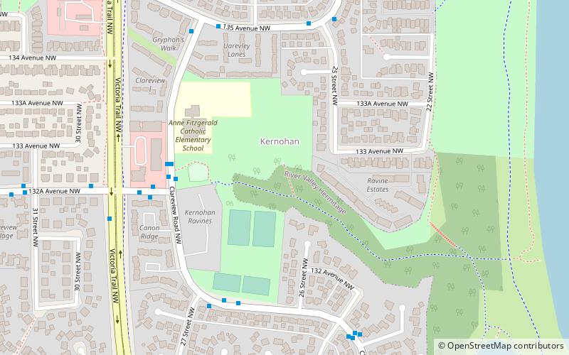
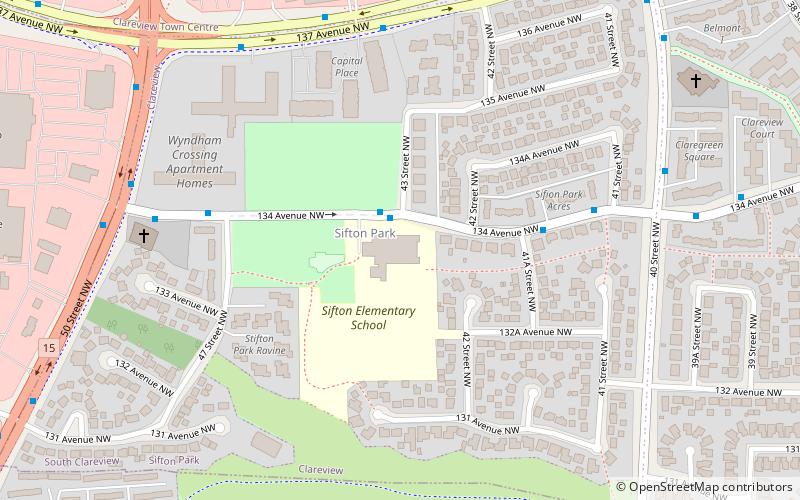
Nearby attractions include Clareview, Edmonton (12 min walk), Ebbers, Edmonton (15 min walk), Hairsine, Edmonton (16 min walk), Sifton Park, Edmonton (17 min walk).
How to get to Clareview Town Centre by public transport?
The nearest stations to Clareview Town Centre:
Light rail
Bus
Light rail
- Clareview • Lines: 501 (7 min walk)
- Belvedere • Lines: 501 (40 min walk)
Bus
- Clareview Transit Centre • Lines: 2, 2-Owl (8 min walk)
- Fort Road & 134 Ave • Lines: 2 (29 min walk)