The Ismaili Centre, Vancouver
Map
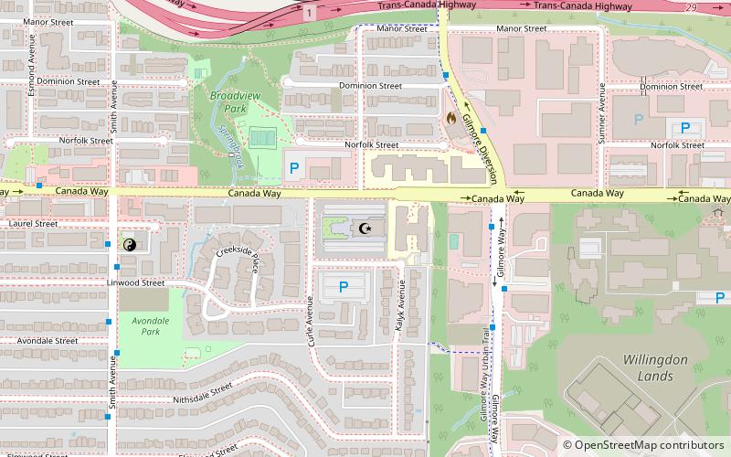
Map

Facts and practical information
The Ismaili Centre, Vancouver is one of six such centres worldwide. It was the first purpose-built Ismaili jamatkhana and the first Ismaili centre in North America. It has accordingly been the subject of sustained, dedicated academic analysis, being noted as a case-study of modern Islamic architecture in the West. ()
Coordinates: 49°15'15"N, 123°0'50"W
Address
4010 Canada WayCascade-SchouVancouver
Contact
+1 604-438-4010
Social media
Add
Day trips
The Ismaili Centre – popular in the area (distance from the attraction)
Nearby attractions include: Brentwood Town Centre, Two Gilmore Place, Sunrise Park, Forest Lawn Memorial Park.
Frequently Asked Questions (FAQ)
Which popular attractions are close to The Ismaili Centre?
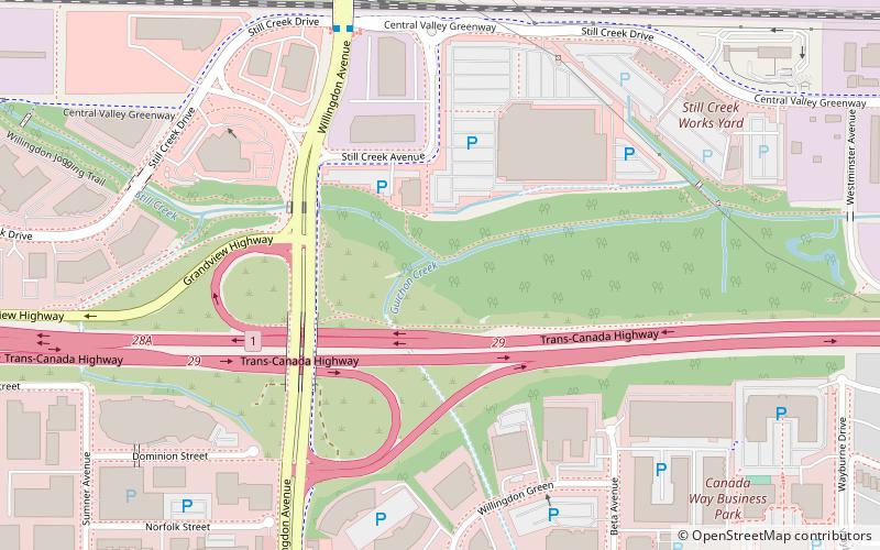
Nearby attractions include British Columbia Institute of Technology, Burnaby (17 min walk), Guichon Creek, Burnaby (17 min walk), Two Gilmore Place, Burnaby (21 min walk).
How to get to The Ismaili Centre by public transport?
The nearest stations to The Ismaili Centre:
Bus
Metro
Trolleybus
Bus
- Gilmore Way at Canada Way • Lines: 129 (4 min walk)
- Smith Ave at Linwood St • Lines: 28 (7 min walk)
Metro
- Gilmore • Lines: Millennium Line (20 min walk)
- Rupert • Lines: Millennium Line (25 min walk)
Trolleybus
- Lougheed Hwy at Skeena St • Lines: 9 (24 min walk)
- Boundary Loop • Lines: 9 (25 min walk)

 SkyTrain
