Guichon Creek, Burnaby
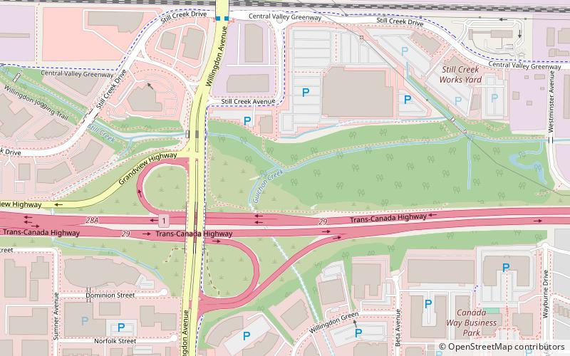
Map
Facts and practical information
Guichon Creek is one of the most significant tributaries of Still Creek, an important waterway in Burnaby, British Columbia, Canada. ()
Elevation: 49 ft a.s.l.Coordinates: 49°15'31"N, 123°0'5"W
Address
Burnaby
ContactAdd
Social media
Add
Getting there by public transportation
Public transportation stops near this location
- Metro
- Bus
- Trolleybus
 Metro
Metro
- Calculate routeWillingdon Ave at Still Creek Dr 6 min walk
- Calculate routeCanada Way at Willingdon Ave 8 min walk
- Calculate routeWillingdon Ave at Canada Way 9 min walk
- Calculate routeBrentwood Town Centre 14 min walk
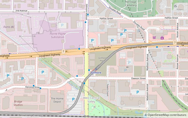
- Calculate routeGilmore 18 min walk
- Calculate routeHoldom 25 min walk
- Calculate routeBoundary Loop 30 min walk
Day trips


Frequently Asked Questions (FAQ)
Which popular attractions are close to Guichon Creek?
Nearby attractions include British Columbia Institute of Technology, Burnaby (12 min walk), The Ismaili Centre, Vancouver (17 min walk), Two Gilmore Place, Burnaby (19 min walk).
How to get to Guichon Creek by public transport?
The nearest stations to Guichon Creek:
Bus
Metro
Trolleybus
Bus
- Willingdon Ave at Still Creek Dr • Lines: 123, 130, 25 (6 min walk)
- Canada Way at Willingdon Ave • Lines: 123 (8 min walk)
Metro
- Brentwood Town Centre • Lines: Millennium Line (14 min walk)
- Gilmore • Lines: Millennium Line (18 min walk)
Trolleybus
- Boundary Loop • Lines: 9 (30 min walk)